Kal-el
Deity
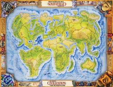
Here is a Huge Earth Map to replace the original that shipped with the game. It is 180x180 and can be played with accurate civ placements or random. I tried to place the resources as accuraely as possible, although for gameplay reasons I have added horses to the Americas.
I have included step-by-step instructions on using the CPT in the README.
A few quick notes:
The land to water ratio on this map is not earth accurate. In order to preserve the detail level I reduced the size of both the Atlantic and the Pacific. It is however impossible to cross either ocean with a Galley without The Great Lighthouse.
Europe has been stretched just a bit eastward into Asia in order to give those civs some more room and to cut down the Asian Advantage.
The British Isles and Japan are both a bit larger than they really should be but that was for gameplay and aesthetic purposes.
North America is bit bigger than it should be but, again, that was for game play reasons.
The Faroe Islands are a bit further over to the East than in real life to prevent an easy crossing to North America.
There are mountains in Greenland to prevent mass colonization of that region.
Also plains and grassland were interchanged where necessary to create a more accurate coastline.
Some areas of desert were made into plains if a river ran through it in order to pevent the mass food production of the floodplain syndrome.
here is the minimap image using Gramphos' CMT:

v1.4 removed after 97 downloads
I have included step-by-step instructions on using the CPT in the README.
A few quick notes:
The land to water ratio on this map is not earth accurate. In order to preserve the detail level I reduced the size of both the Atlantic and the Pacific. It is however impossible to cross either ocean with a Galley without The Great Lighthouse.
Europe has been stretched just a bit eastward into Asia in order to give those civs some more room and to cut down the Asian Advantage.
The British Isles and Japan are both a bit larger than they really should be but that was for gameplay and aesthetic purposes.
North America is bit bigger than it should be but, again, that was for game play reasons.
The Faroe Islands are a bit further over to the East than in real life to prevent an easy crossing to North America.
There are mountains in Greenland to prevent mass colonization of that region.
Also plains and grassland were interchanged where necessary to create a more accurate coastline.
Some areas of desert were made into plains if a river ran through it in order to pevent the mass food production of the floodplain syndrome.
here is the minimap image using Gramphos' CMT:
v1.4 removed after 97 downloads