Gooblah
Heh...
- Joined
- Jun 5, 2007
- Messages
- 4,282
Download.
This map was made possible by the brilliant work of sarysa, whose Civ4 MapMaker is a stroke of genius.
This map covers Greece, western Turkey, and the Aegean Sea. Resources are absent, but everything else exists in great quantity. Screenshots:
Khalkidhiki:

Peloponnesus:

Attica:

Lesbos:

Northern Turkey:

Southern Turkey:

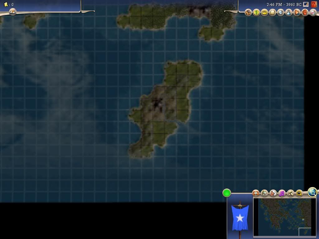
Rhodos:
Southern Aegean/Cyclades:

Northern Aegean:

Note: These screenshots are of v1.1, which will be up for download by Monday, December 22nd, 2008.
Enjoy!
This map was made possible by the brilliant work of sarysa, whose Civ4 MapMaker is a stroke of genius.
This map covers Greece, western Turkey, and the Aegean Sea. Resources are absent, but everything else exists in great quantity. Screenshots:
Khalkidhiki:
Spoiler :
Peloponnesus:
Spoiler :
Attica:
Spoiler :
Lesbos:
Spoiler :
Northern Turkey:
Spoiler :
Southern Turkey:
Spoiler :
Rhodos:
Spoiler :
Southern Aegean/Cyclades:
Spoiler :
Northern Aegean:
Spoiler :
Note: These screenshots are of v1.1, which will be up for download by Monday, December 22nd, 2008.
Enjoy!
")