NES World/Regional Maps III

Status
Not open for further replies.
Very nice, thanks a lot NK, I think I will turn this into something at some point. As for a few suggestions:
1. Tikal's period name would be Mutal, Tikal was applied by modern archeologists before the Mayan hierogrlyphs were decyphered
2. China was driven out of northern Korea in 75 BCE, leaving Goguryeo ruling the northern peninsula
3. Kaan (modern Calakmul) should be a state, it was a major competitor of Mutal and the two formed an uneasy bi-poliarity in the Mayan heartland
4. There should be several city states (I presume that's what your barbarian cities are) in Burma, namely: Binnaka, Mongamo, Sri Ksetra, Peikthanomyo, and Halingyi
5. By this point the Ohio, Mississippi, and Lower Missouri Rivers are well settled through the Hopewell culture (successor to the Adena), so the grey region should extend along these rivers with city states concentrated in the Upper Ohio (s. Ohio, n. Kentucky, n.w. W.Virginia, and w. Pennsylvania), Illinois at the joining of the Missouri and Mississippi, and further south at the joining of the Mississippi and Ohio
6. Period name for Monte Alban would be Danipaguache

I belive that's it. Again, this is really aazing. I could never imagine sitting down and trying to make such a map, it is really quite an achievment.
 
Don't you think actual city states in Ohio Valley might be a bit excessive?
 
Israelite9191 said:
Very nice, thanks a lot NK, I think I will turn this into something at some point. As for a few suggestions:
1. Tikal's period name would be Mutal, Tikal was applied by modern archeologists before the Mayan hierogrlyphs were decyphered

Right, forgot that I did.

2. China was driven out of northern Korea in 75 BCE, leaving Goguryeo ruling the northern peninsula

Most sources I have access to disagree on that... The Goguryeo were in existance, but only to the north of the Chinese Korean possessions at this time.

3. Kaan (modern Calakmul) should be a state, it was a major competitor of Mutal and the two formed an uneasy bi-poliarity in the Mayan heartland

Well, later, they certainly were (I'm very fond of Mayan history, so this is not too unfamiliar), but as the rise of the Maya was just beginning, and since Tikal was earlier and bigger by most accounts, I have them as a state. They will probably be a state on my next map, either 300 or 400.

4. There should be several city states (I presume that's what your barbarian cities are) in Burma, namely: Binnaka, Mongamo, Sri Ksetra, Peikthanomyo, and Halingyi

Curses, I thought they came later in history. My mistake, will add.

5. By this point the Ohio, Mississippi, and Lower Missouri Rivers are well settled through the Hopewell culture (successor to the Adena), so the grey region should extend along these rivers with city states concentrated in the Upper Ohio (s. Ohio, n. Kentucky, n.w. W.Virginia, and w. Pennsylvania), Illinois at the joining of the Missouri and Mississippi, and further south at the joining of the Mississippi and Ohio

The Hopewell, yes, they should be on there. I don't think I'll be giving them cities, though; they weren't quite that advanced.

6. Period name for Monte Alban would be Danipaguache

Very nice, thanks. :)

Will implement some of these suggestions tomorrow. Right now it's time to sleep.
 
OK, what you say of Kaan makes sense. The only source I have immediate access to for Korean history is wikipedia, so I definately can see my source being wrong.
 
Isn't this supposed to be the thread we post maps? Stop spamming the thread.
 
Map of the world in 1 CE. Hopefully the first of many maps for althistorians to work off of. :) All revisions to date included (names and maps); plus the bonus feature of having an update on the world map (Irrawaddy River).

Nation list:

Teotihucán: Reddish Purple
Xochicalco: Dark Green
Veracruz*: Sea Blue
Remojadas*: Medium Green
Cerro de las Mesas*: Yellow Brown
Danipaguache: Blue Gray
Mutal: Leafy Green

Moche: Tan
Warpa: Pink
Nazca: Red Brown
Tiwanaku: Sky Blue

Roman Empire: Crimson
Dacia: Brown

Meroe: Dark Gray
Axum: Dark Green

Armenia: Medium Blue
Himyarite Kingdom: Sea Green Blue
Hadramaut: Dark Red
Parthian Empire: Teal

Suren Kingdom: Light Green
Saka Kingdom: Pink
Satavahana Empire: Forest Green
Satiyaputras: Light Red Brown Gray
Pandyas: Sand Yellow
Cholas: Dark Blue
Sinhala: Lavender
Kalinga: Pureed Liver Red
Magadha: Blue Purple
Vanga: Sky Blue Green

Han Empire: Golden

*Period name unavailable
 

Attachments

  • The_World_1CE.PNG
    The_World_1CE.PNG
    120 KB · Views: 812
This was very quick, given that I had the 1 CE map to work off of; the map of 300 CE. In retrospect, I could have picked a better date, but this one’s still full of surprises: it looks like not much has changed (and in the Americas, not much has (sorry, still no Kaan yet)), but really, a lot has...

Nation list:

Teotihucán: Reddish Purple
Xochicalco: Dark Green
Veracruz*: Sea Blue
Remojadas*: Medium Green
Cerro de las Mesas*: Yellow Brown
Danipaguache: Blue Gray
Mutal: Leafy Green

Moche: Tan
Warpa: Pink
Nazca: Red Brown
Tiwanaku: Sky Blue

Roman Empire (Tetrarchy): Crimson

Meroe: Dark Gray
Axum: Dark Green

Armenia: Medium Blue
Himyarite Kingdom: Sea Green Blue
Sassanian Empire: Teal

Saka Kingdom: Pink
Vakataka: Light Green
Cheras: Light Red Brown Gray
Pandyas: Sand Yellow
Cholas: Dark Blue
Sinhala: Lavender
Pallavas: Dark Yellow
Salankayanas: Yellow Green
Kalinga: Pureed Liver Red
Magadha: Blue Purple
Prayaga: Blue Gray
Samatata: Sky Blue Green
Kamarupa: Green

Sri Ksetra: Bright Green
Funan: Medium Blue
Champa: Dark Red Brown
Srivijaya: Dark Sea Blue

Jin Empire: Golden
Rebellion of the Eight Princes: White
Koguryo: Brown
Silla: Light Orange
Paekche: Sea Green
Yamato: Dark Red

*Period name unavailable

As usual, point out any mistakes. I'd really like a knowledgable one on Chinese history to tell me if I did the placement of the Rebellion right...
 

Attachments

  • The_World_300CE.PNG
    The_World_300CE.PNG
    121.3 KB · Views: 407
Also, if you have a vested interest in these maps (or even if not): which should I do next, 400, 450, 500, or 600?

I know that part technically belongs in the requests thread. :p
 
You should definitely do a 500 AD map. You might want to do a 400 AD map, and just do one every 100 years from now on...

But, first, of course, UPDATE!!!!!!!
 
I agree with jalepeno, once every century is good.

Himyar should be much smaller and Aksum should control land on the Arabian peninsula with Himyar's northern border being just past Zafar and Najran being Aksumite and Aksumite territory extending north to approximately the area in Arabia opposite Aksum's current northern border. I am not sure what should be north of that.
 
Israelite9191 said:
Himyar should be much smaller and Aksum should control land on the Arabian peninsula with Himyar's northern border being just past Zafar and Najran being Aksumite and Aksumite territory extending north to approximately the area in Arabia opposite Aksum's current northern border. I am not sure what should be north of that.

Looks like, from another map I've see, that area is none too simple. Will fix it tomorrow.
 
plus the bonus feature of having an update on the world map (Irrawaddy River).

I hate you, NK. You just keep adding stuff to that map of yours, making everybody else's maps obsolete. :p Though its about time someone added the Irrawaddy, its very useful as anyone who ever had to place Burmese cities will attest.

Good maps all, though maybe you should give the Tetrarchs different colours. Next one should be 400 (Empire newly divided, the barbarian invasions draw near), really, and after that 476 (end of the Western Roman Empire). It was a turbulent century that DESERVES two maps, as both willl probably be very useful for althistorians, especially the 476 one I suspect, for the lack of Xen.
 
476 could be done as 500, couldn't it? Things didn't change radically in that 24-year period, at least in the area in question (Europe).

Another very nice map, NK. This one's a bit more balanced, too, with the Sassanids, Romans and Jin all being powerful (though the Jin have a rebellion to deal with before they become too powerful).

That said, it still suffers from Roman over-ECing: 19 ECs to 9 for the Sassanids and 14 for a reunited Jin.
 
Well, I suppose. Though by 500 Odoacer's kingdom ceased to exist, while the Franks conquered much of the Gaul, and generally the new Germannic states had time to centralize and consolidate. But these changes aren't all that big, on the map anyway.
 
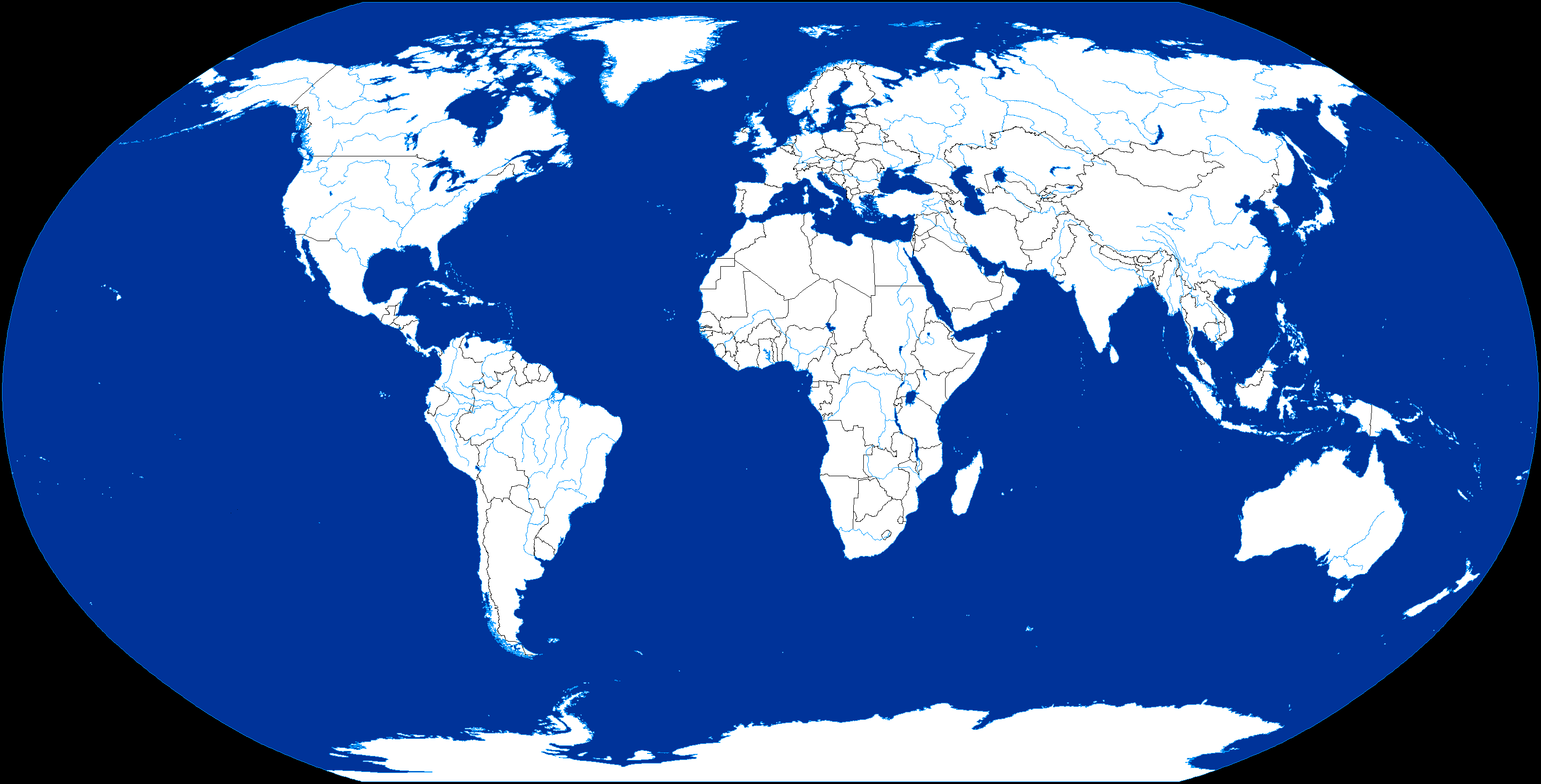
Updated and Standardized Accuracy Map Version 0.91, now playable. Modern borders included. It does not get more accurate.

Spoiler Map :

Could use some of the smaller European rivers (and the ones in the Deccan) and a few lakes here or there. Might get to that later.
 
Next step is to alter it along the lines of the Japanese Empire althist 2040.
 
That's up to somebody else then. :p I've molded this for my own purposes. If somebody else wants to use it for their stuff, that's cool too though.

I'm a stickler for accuracy and I just have never really been able to get over the inherent inaccuracies of NK's maps, good as they are, since they are heavy retools of the original Jason map. Nothing wrong with either of them, it's just neither suit my tastes or sensibilities.

Now I suppose I can get to working on that other map...
 
Status
Not open for further replies.
Top Bottom