Official Japanatican Cartographer?

MSTK

Deity
Joined
Dec 30, 2003
Messages
2,154
EDIT: Oh, yeah. And I will be away on the dates mentioned on my sig, probably in time to miss half of the first term.

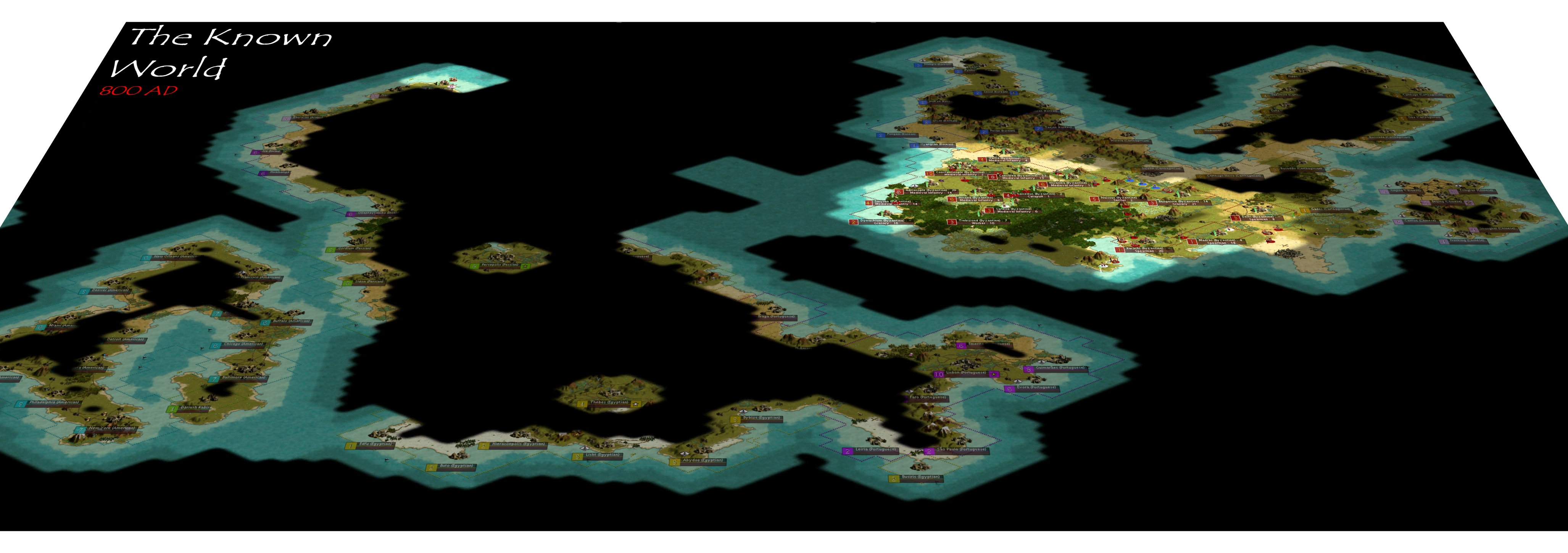
Maybe this should not be an actual position, but I like the idea of someone being the person who posts large maps of the world (requiring more than one press of the PRT SC button), with borders colored in, etc.

If nobody is taking it, I have a lot of free time and would like to do it for fun.
 
I nominate MSTK as official cartographer and charge him with keeping us all up to date with the world in which we live :)
 
I'll second that Nomination. :thumbsup:
 
There's already a cartography thread stickied, but if you want, you can create the maps, and the standard would be:

1 - Create 2 maps, a large and reduced size version.
2 - The large version will be the zoomed out version (it's too much for a zoomed in map).
3 - The small version will be a zoomed out version, but at the size of 300x300 (or 200x200), and to be used as a thumbnail.
4 - Maps must be saved as DG5_(year)_wm/province_(size).jpg.

For example:

For the worldmap

DG5_BC3000_wm_large.jpg
DG5_BC3000_wm_small.jpg

For the provinces (assume the first province is "Senshu" - means "player", BTW)

DG5_BC3000_senshu_large.jpg
DG5_BC3000_senshu_small.jpg


5. The thumbnail links will be posted as follows:

[.size=1][.b]Current Year[/b][/size]
[.url=http://link.to.large.file][.IMG]http://link.to.small.file[/IMG][/URL]

You can post 1 post per map. That is, your first post is the world map, and 2nd post will be the provinces. I will edit the first post to add in the next current map. Be sure to post in the "Needed Things" thread when you add a new map.
 
Let me rephrase.
How are maps created that are so much bigger than a screen? If I set the screen to the highest resolution; and take a screenshot; still not everything is on it. So that means multiple screenshots. But how do you paste them in such a way it becomes 1 map ?
 
Well, I do this the same way that I take multiple pictures of a digital camera, and then paste them side-by-side to create one long "Panorama".

The world maps are made by zooming out (Z button), and then getting rid of the minimap and all icons (DELETE button). And then I take a screenshot of the top left corner of the mapped area.
Then, I paste it (I use paint for this, because it's simpler than the ones I use for editing). Then I take another screenshot, but move the screen to the right so that there is a little bit of the first screenshot still there, overlapping. Then, I align that with the first screenshot and then put them together.
After about 5 or 10 repititions, I got a world map.

Did I explain it right?
 
Top Bottom