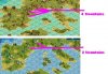
He hasn't placed any desert in Spain and it looks to me like he has removed a bunch of mountains from the Alps and also reduced the number of hills in Europe over all. Besides, nobody said that civ placement should be "fair", it wasn't in RL, some people started out in more hospitable terrain, thats just how it works. If you are playing on an Earth Map, don't you want it to be as realistic as possible? I agree that there has to be a certain amount of consideration given to playability, but I think a creator has to be careful that they do not take too much artistic license. Part of your decision in deciding which civ to play has to involve their geographic location. (Probably one reason a lot of people don't like playing on Earth Maps.)
The wonderful thing is, that once the creator has released his or her creation to the public, we are free to modify it to our hearts content, as long as we give credit to the original designer, of course.

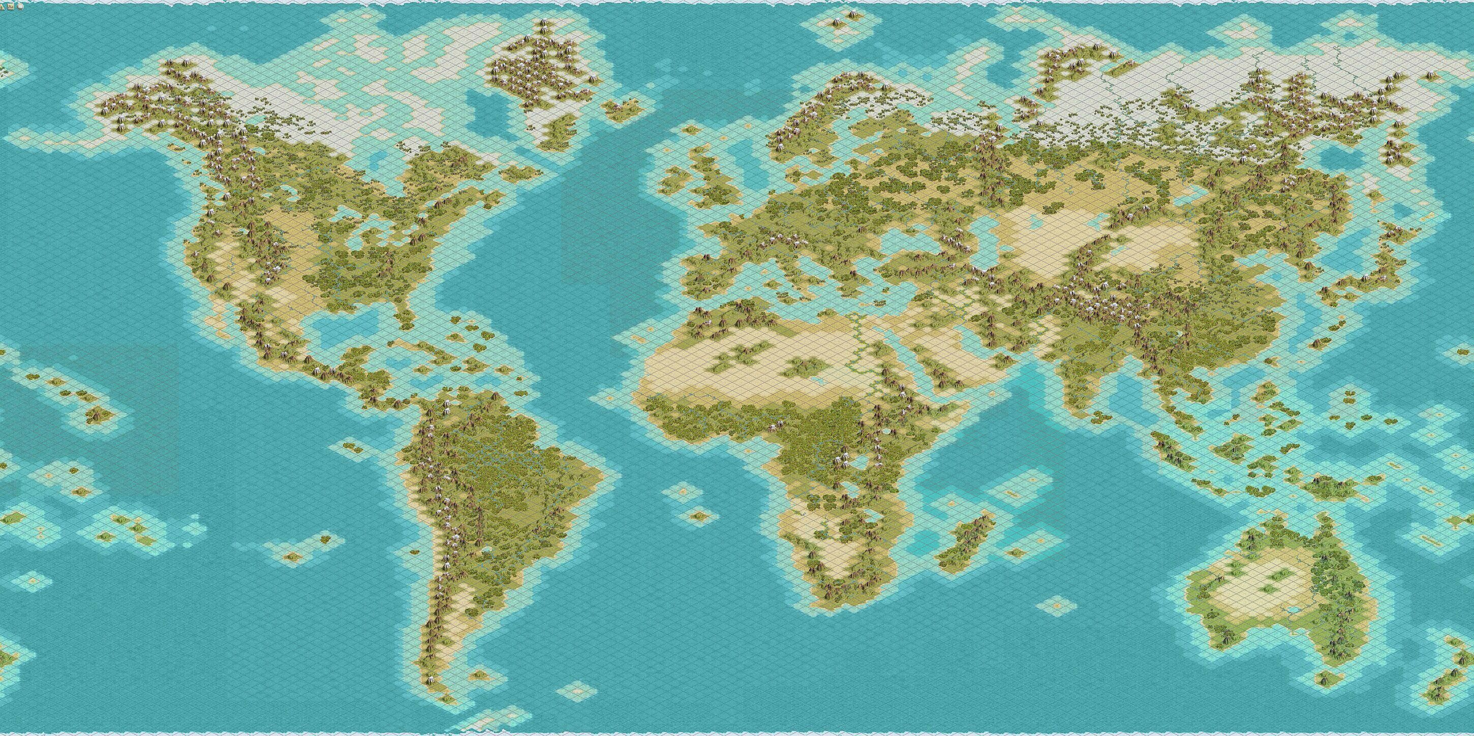
So, Rhye, if you don't like Kal-el's rendition, but can't find any better versions out there (and I am pretty sure his is the best, at least its the best I have seen) download his map when he releases it and go in and adjust the areas that you don't like. If you have your heart set on playing Spain, but don't like the fact that the Pyrenees Mountains are in the Iberian Peninsula, you can edit them right out of there. Its pretty simple. There are several modified versions of Marla's Map floating around because people didn't like certain aspects of her map but didn't want to take the time to design their own maps from scratch. I know I will probably edit my own version of Kal-el's map to adjust the UK, unless Kal-el fixes it first
")
and saves me the time.
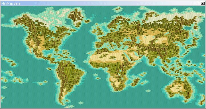
Also remember after PtW China will now have to contend with Korea and Mongolia. The Iroquois will most likely be way behind in the tech race because they only have 2 other civs to trade techs with. The Zulu start out in South Africa, and it looks like he has added in a bit more desert, mountains and jungle between them and the Egyptians to help restrain them. Also remember, Carthage has been added to North West Africa and Arabia to the Arabian Peninsula. There is also room for seven more civs to be added to PtW and from what I am seeing on these boards there are at least two potential candidates for Africa, the Mali/Songhay in the Western SubSaharan region and the Abyssinian/Ethiopian in Eastern Africa. If you add either one of those or both to your game all of a sudden Africa is packed with civs.
Anyway, I can't wait for this map to be released.
")
 .
. I didn't say it was perfect. In fact I have made suggestions myself. But I am also content to makethe adjustments myself if he does not.