Traitorfish
The Tighnahulish Kid
Old threads:
Altered Maps
Altered Maps 2: Uber-Yugoslavia FTW
Altered Maps 3: The rise of the Basque Empire!
Altered Maps 4: Partitioning Eastern Europe Like In The Good Old Days
Altered Maps V: The Molotov-Threadentropp Pact
Altered Maps VI: Xorda Gene Bombs.. going from Earth to Mobius
Altered Maps VII: Making the World a Better Place
Altered Maps VIII: World borders just got garbage-dayed
Altered Maps IX:: Playing Musical Chairs with the Landmasses
Altered Maps X:Ten Time's a Altered Map
Altered maps XI: Towards a New Decade!
Altered Maps XII: Not to Scale
Altered Maps ΙΓ': To make a map larger than what it maps
Altered Maps XIV: Cartographical Consistency
Altered Maps 15
Have an abomination.
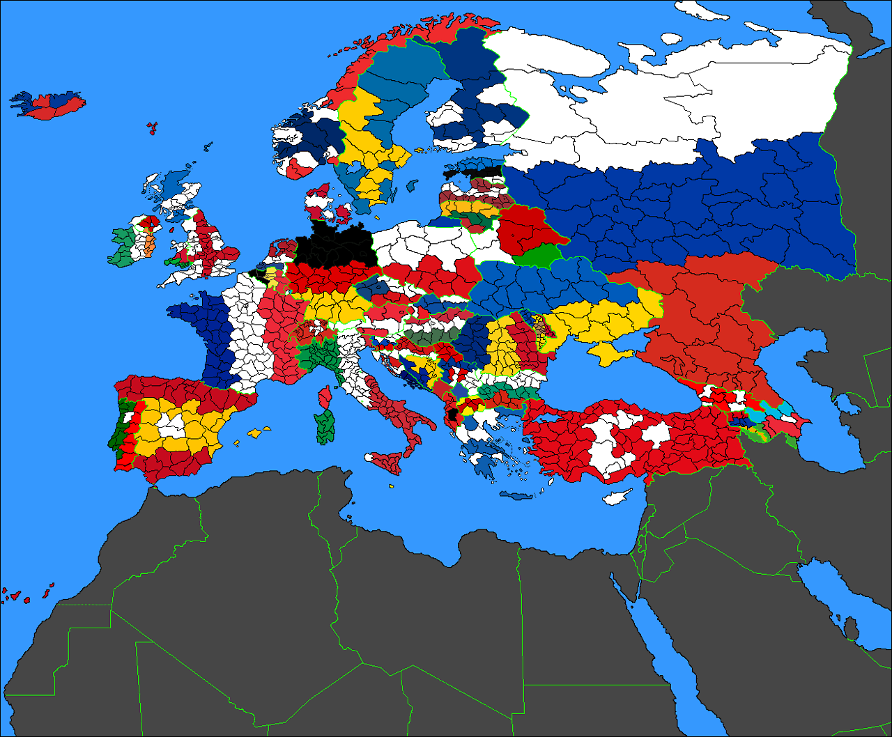
Simple bands work out better than crosses for the most part, but, jeez, not for poor old Poland. Czechia turned out suspiciously well, almost as if they were planning for it.
Altered Maps
Altered Maps 2: Uber-Yugoslavia FTW
Altered Maps 3: The rise of the Basque Empire!
Altered Maps 4: Partitioning Eastern Europe Like In The Good Old Days
Altered Maps V: The Molotov-Threadentropp Pact
Altered Maps VI: Xorda Gene Bombs.. going from Earth to Mobius
Altered Maps VII: Making the World a Better Place
Altered Maps VIII: World borders just got garbage-dayed
Altered Maps IX:: Playing Musical Chairs with the Landmasses
Altered Maps X:Ten Time's a Altered Map
Altered maps XI: Towards a New Decade!
Altered Maps XII: Not to Scale
Altered Maps ΙΓ': To make a map larger than what it maps
Altered Maps XIV: Cartographical Consistency
Altered Maps 15
Have an abomination.
Simple bands work out better than crosses for the most part, but, jeez, not for poor old Poland. Czechia turned out suspiciously well, almost as if they were planning for it.
")