The Strategos
Thanatos
- Joined
- Jul 21, 2002
- Messages
- 1,175
Anyone have a good map of Europe and the Med? Thanks in advance")
Though this was posted long ago, I don't think there have been any better posted since.
Anyone have a good map of Europe and the Med? Thanks in advance
Anyone have a good map of Europe and the Med? Thanks in advance
These might help:
Spoiler :
Spoiler :
Spoiler :

kkmo:
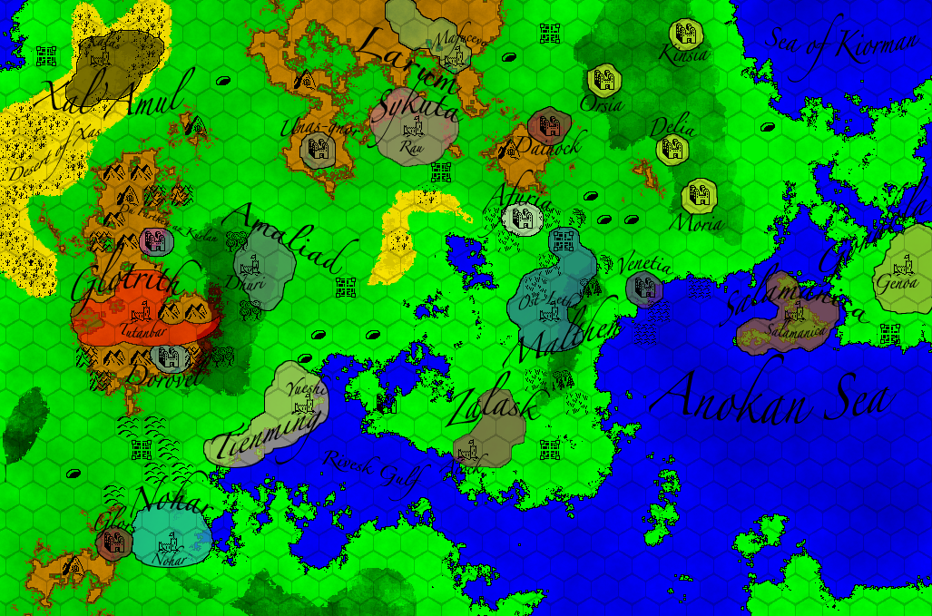
Not a veteran map-maker, but I found reading through this tutorial (not hard-core, very easy read) helped me leaps and bounds. Think ahead. For example, where are the mountains? Rivers, biomes, et cetera.
I actually don't think it is that ugly. Add some mountains and rivers and think hard on what lives where, and boom, it's a wonderful world. What's wrong with taking inspiration from our world? I like the "med" especially, it adds a new dynamic. There's a whole flow that is not felt in our world. I don't think it is too unoriginal.
Kelks looks fine to me, and I'd make the northern isthmus of Kelks into a mountain-heavy "get everywhere by sea" type deal, and try to make greco city states there. Geographically? a very vague question to ask.
So kkmo, why does it look so incredibly similar to Earth? Was that on purpose? Are you going somewhere with that, or is it a coincidence? I hope that after you put it some mountains and rivers you post it again.
")