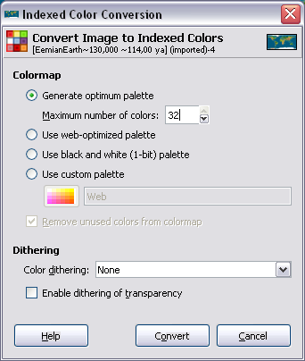
Made a custom palette file to use for indexing any image. The palette has 40 colors, with the infamous magenta & green, black, and white "reserved" - not to be used in images. These colors showed up in the terrain selection window even though they were nowhere in the image. Not every possible terrain appeared in the image. It seems like the editor is filling in the selections from unused colors in the palette. Question - is it picking colors from one end of the palette all the time? Seems likely since those colors are in indexes 36-39.
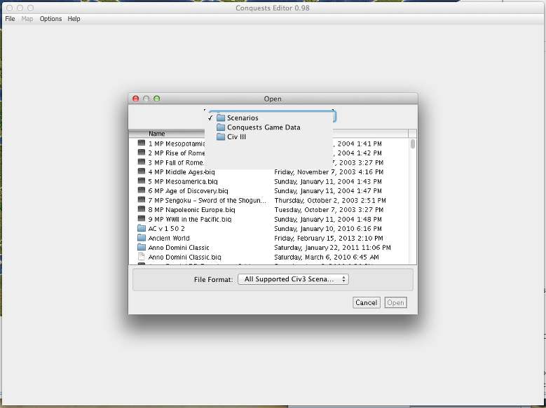
The problem with blanks in the pull down menus is in many places, not just in the open or save dialogues. I can't say it's there 100% of the time, but it happens enough that I guess so.
Map zoom - when I change percentage I get various strange effects - lower part of map not there (acts like it was cropped), random tiles at left & right edges, random parts of the map placed next to each other. Always one of those, but not consistently the same. If I bring up the zoom window again the problems correct themselves. sometimes just clicking anywhere within the window triggers the correction, sometimes clicking cancel does so.
Using OSX 10.9.5
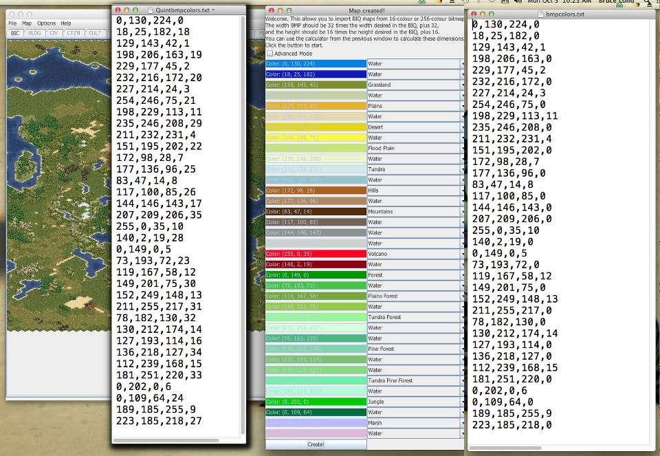
For the color palette for importing BMP files, the editor will display all colors present in the BMP palette, regardless of what color they are or if they show up in the BMP. I hadn't really envisioned having colors in the palette that would be reserved like in Civ3 PCX files, although any color that is in the palette but not present at all in the BMP should have no impact on what happens to the imported map, regardless of what terrain you assign to it on the import window.
I suspect the drop-down menu issue may be something that only happens on more recent OS X systems than the 10.4 Tiger I have. Since I don't need yet another computer, I've set up a Hackintosh virtual machine with 10.9, and should be able to test with that. It's sort of quirky, but since the editor doesn't use the GPU, I think it will be testable. All encouragements to Apple to sell a version of OS X so development can be done on non-Apple hardware without hacks are encouraged. Hopefully now I'll be able to see this issue first-hand.
I have been able to reproduce the zoom issue. It was not present in version 0.83 (March 2013), which introduced the custom-zoom-level option, and I haven't made any zoom-specific changes since then.

However, clicking outside the editor and back fixes it, so I suspect it may be related the map panel being refreshed, which I may have changed since then. I'll look into that and should be able to identify which change caused it with further investigation.
Does the editor look for the "new" LM files listed by embryodead? Are there others he didn't specifically name that this editor looks for? For example you've got LM Plains, Grassland & Tundra Pine Forests as separate choices in the editor. Are those all coming from the LMForests.pcx or from LM versions of the other forests files?
It would be handy to have a single post with a complete list of all pcx files it's possible to access from the editor. Admittedly I haven't thoroughly searched all 580+ posts of this thread to see if there's already a list.
So, after checking, it seems that I overlooked LMForests.pcx

. All the other landmark files, including for base terrains, mountains, and hills, are used, but somehow I missed forests. So when displaying the landmark forests, currently, the landmark icon is shown, but the forest graphic is the same as for the regular forest. That will go on the to-fix list.
In the specific case of pine forests, the difference is in what the base terrain is. So, LM Plains Forest will have the pine forest graphic (which should be the landmark pine forest graphic) on plains, LM Grassland Pine Forest will be the same, except on grass terrain, and LM Tundra Pine Forest will be the same, but on tundra.
I do agree that having a post listing not only all the PCX's used, but various other capabilities and how-tos, would be useful. In spring 2014 I'd started a blog focused on capabilities of the editor, but naturally since it wasn't on CFC, and writing things up well requires time, it never really got off the ground. Yet, a CFC thread is too long to search through, and updating posts to stay accurate also distorts the historical record. Meanwhile, the in-editor help is too limited in its HTML abilities to be as useful as it should be.
The next version, however, will be able to view modern web pages. So I plan to improve its documentation. I also recently learned that my email provider has file-storage/website capabilities, so that will work nicely for hosting the editor documentation. For now I've uploaded the editor's existing help
here. Going forward, I plan to add to that, including graphics, and make that the default help site for the editor since 0.99 will be able to view modern sites, including images. It will fall back to the existing 1996-style help only if it's operating offline.
Though, to set expectations realistically, it will be awhile until that site really evolves significantly beyond what the help is now.


 .
.

") )
)