NES World/Regional Maps

Status
Not open for further replies.
Hmmm, only one suggestion:

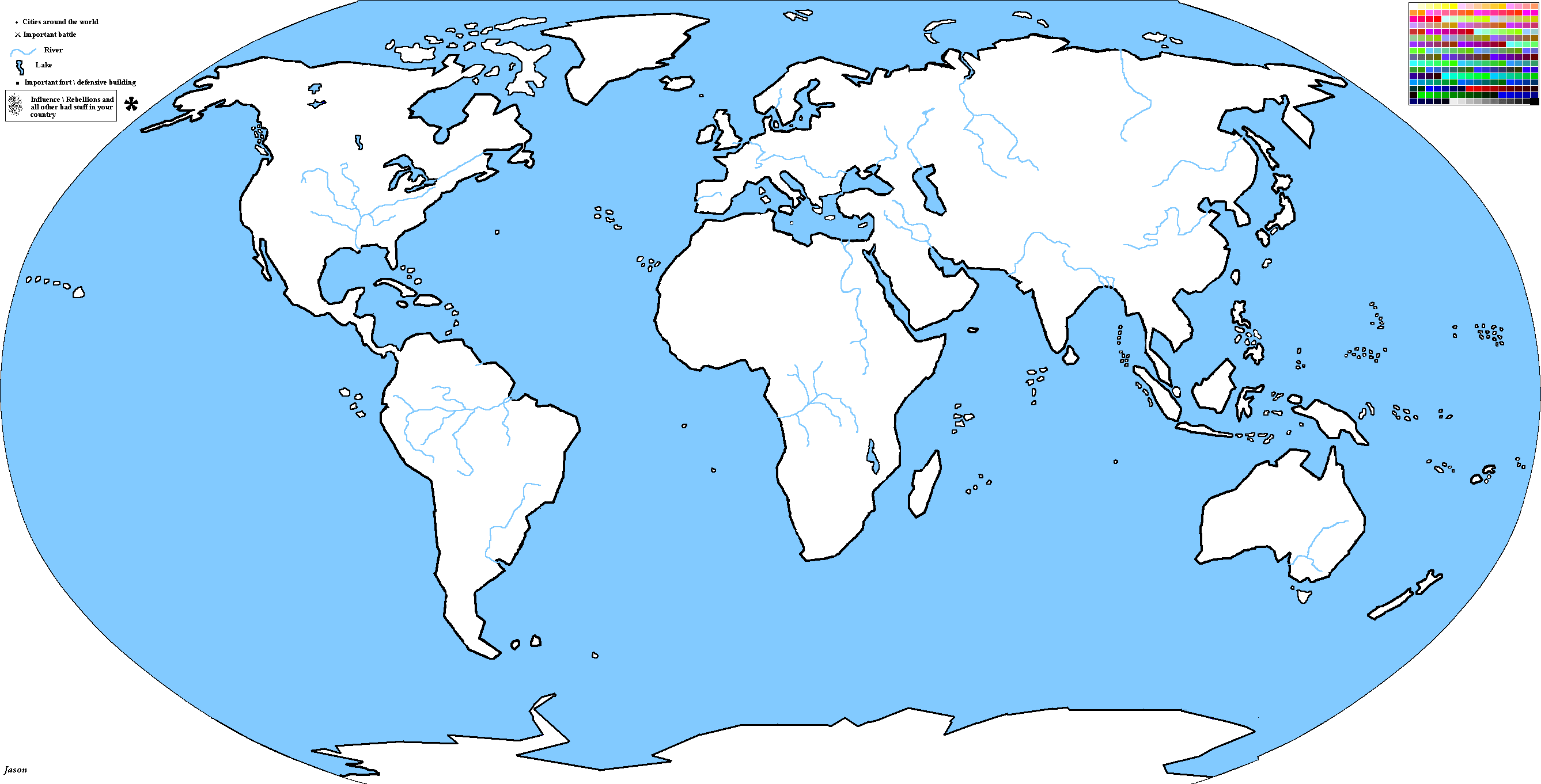
Add rivers, then it will be THE perfect map. In my view it has already set a new standard for NES maps.
 
looks the best map yet.

A few pointers:

Is it curved? trying to imitate a globe? I don't like that, as you cant draw a straight line for the US, etc.

Also, comparing africa to asia, africa is extremely large.

Other then that, the map is very very very very good!

Jason
 
Green Version of Plexus's Map
 

Attachments

  • svjetska mapa.gif
    svjetska mapa.gif
    96.1 KB · Views: 341
Here's an idea: a 2-player NES.

svjetska_mapa.gif
 
ERnes_No_Quite.png


It's Jason's map, just with better look. It saved as a PNG file, better looking and more colors than gif's...
Everyone are welcome to use this map inluding the many colors to it's side ;)
 
Just as a side note... You CAN'T edit PNG with paint and can't save with Paint PNG's... I have a good software :)
 
Well, I use a variety of methods to draw my maps.

All of my real world maps are based on Microsoft Encarta. I use Photoshop to draw the landmasses.
 
An idea for stAMNES3. Storyline coming tonight.
 
The Map:
 

Attachments

  • stadrnes3.gif
    stadrnes3.gif
    75 KB · Views: 299
Hmm if Germany won, why there is a Russia? and why Germany control parts of Aafrica? They DON'T want Africa... they wanted Wetsern Russia.
And why there is an India? If you didn't knew Japan wanted it ALL, ALL of Asia and everything they could take...
 
Status
Not open for further replies.
Back
Top Bottom