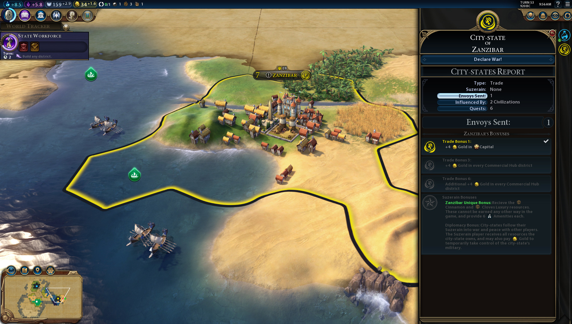
Also, regarding that big beautiful
screenshot, it looks like there's a green type of city-state below the religious/white one, since it has the black outer border (or is it scientific/blue and the yellow'ish map effect is blending with it? *EDIT: Though, rivers don't seem to be affected much by the map tint.*). If it is, I'm guessing that's the food one. The bonus style of all the city-states is also similar to the old Maritime one, though, I'm guessing a food CS in Civ6 would be named something different.
Though, if it is a city-state, I wonder why it already popped-out two tiles while the religious one hasn't expanded at all. Maybe the green one has a resource which provides a good amount of culture.
Or, maybe this entire screenshot is just artificially made. Pretty likely, and I hope so, because the border expansion of China's lower city may have grabbed 3rd ring mountain tiles before perfectly good river land right in the 2nd ring, haha.
")
 Nope. usually you scout an area and know how the land looks, but if they build a new city there and you haven't been there for a while you get the surprise when you travel there again. You don't see units of other players in the FOW there either. It's FOW, right?!? So it is implemented just as you wished... Or am I completely insane now?