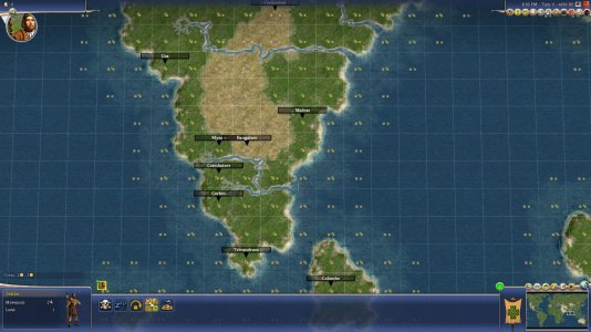
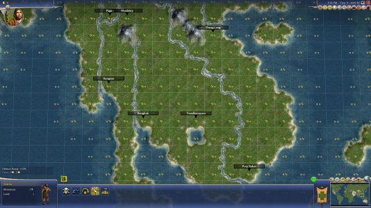
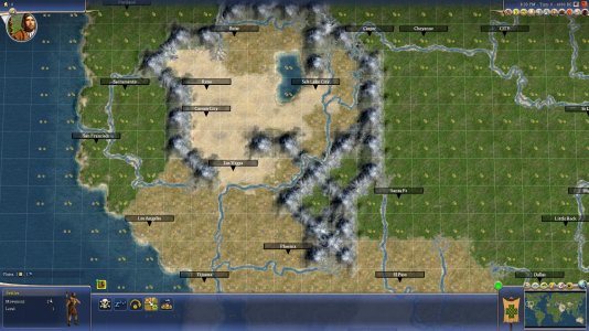
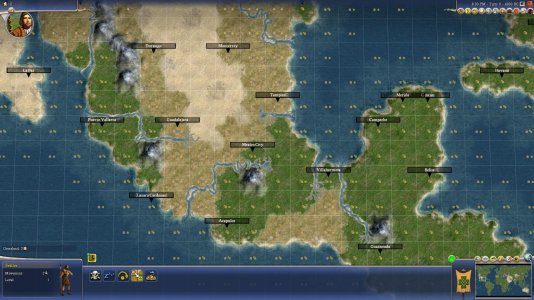
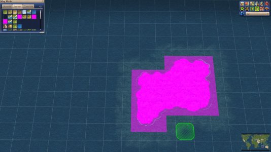
I think it has something to do that DoC terrainXML also includes peaks and hills. They are elevation types rather than terrain types. They are also the only 2 with <bGraphicalOnly> set to 1. And the offset of the placed terrain and the resulting terrain is also 2.
I do not have access to the vanilla XML right now, so I can't compare the DoC xml with the vanilla xml.
IIRC hills and peaks are added to DoC/RFC terrains, so they can be shown in the pedia. They got the <bGraphicalOnly> tag so it does not effect any other gameplay.
The can easily be checked by looking if hills and peaks are also part of the vanilla terrainXML. If they are not, remove them from the terrainXML from your mod.
If that is not the reason, <bGraphicalOnly> could also be the culprit. IIRC this is not a vanilla XML tag, so the vanilla WB cannot deal with it properly.
Code:
        <TerrainInfo>
            <Type>TERRAIN_PEAK</Type>
            <Description>TXT_KEY_TERRAIN_PEAK</Description>
            <Civilopedia>TXT_KEY_TERRAIN_PEAK_PEDIA</Civilopedia>
            <ArtDefineTag>ART_DEF_TERRAIN_PEAK</ArtDefineTag>
...
            <bGraphicalOnly>1</bGraphicalOnly>
        </TerrainInfo>
        <TerrainInfo>
            <Type>TERRAIN_HILL</Type>
            <Description>TXT_KEY_TERRAIN_HILL</Description>
            <Civilopedia>TXT_KEY_TERRAIN_HILL_PEDIA</Civilopedia>
            <ArtDefineTag>ART_DEF_TERRAIN_HILL</ArtDefineTag>
...
            <bGraphicalOnly>1</bGraphicalOnly>
        </TerrainInfo>

