NES World/Regional Maps

Status
Not open for further replies.
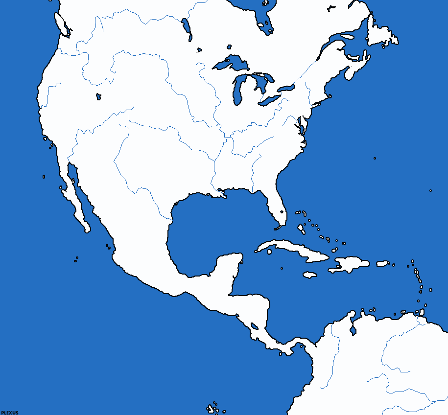
New! And Improved! America with Rivers!

plxnamnbr.gif
 
Excellent Plexus. I will be posting historical map ideas for NESes here later this week that I might use should one of my two current NESes die (one at 'Poly) that anyone can use.
 
anyone who want an accurate map with historical borders.
give me a starting map (doesn't matter how it's look) choose a map that have been created in here, and I will make the borders in the map you chosed.
Just like my 1900 and 1920 maps, and the 1939-1941 3 maps...
 
Obvious Additions:

*I cleared up the Arctic sea! I added all the islands north of canada, and svalbard, and the islands north of Russia.

*I remade some islands in the Pacific, and added a whole lot more. All islands are placed where real ones are, but positions of all might be off a bit.

*Tasmania was remade.

*Added Canary Islands

*Added many islands in Indonesia

*Added islands throughout the map.

*All islands are where they should be.

*Sparta and Greece are seperated

Expected in next update:

Anatarctica to be open
Other major river in China
Danube added to Europe
Denmark broken
Some small islands on the coast of Norway
Siberian Rivers
 
Jason
Sparta and the rest of greece are not broke a part.. just the land betweeb them is much smaller (after all, why building a canal in later ages??)
Denemark is not broken from europe (but it does has many more more islands..) it's not broken until germany build the kiel canal atleast...
 
Suggested changes/additions:
Hawaii does not look like that
Add Socotra
Add Andamans
Add Nicobars
Add islands off the coast of California'
Add British Islands

:)
 
islands off the coast of California? You cant even see them on a map of the world

and, jason added the British islands :hmm:
 
he means the small english channel islands and the northern ones.

I dont think I will add the islands off the coast of California, they are small and unneeded.

Yes, I meant the islands of Denmark.

And yes, Sparta is a peninsula, and only connected to Greece by a small isthmus.
 
this is the map i made and am using in Rnes3. its easy to change around the land/sea cause you just fill the hexes you want to be land with white (and blue for sea). you could even make mountain (brown) and forest (green) hexes if you wanted......
anyway, just thought i'd put it here cause it took so long to make...

HexMap.GIF
 
Ok. here is version 2.

What I did:

*Changed Mississippi river, more realistic, and in doing so made the Ohio R, Tennesse R, Missouri R, and the Arkansas R.

*Added some Canadian lakes

*The Amazon was fixed.

*Made Parana R.

*Made Congo Basin Rivers

*Added Denmark Islands

*Added Danube R

*Added Tagus R.

*Added Ob and Iyrtish rivers (siberia)

*Fixed the Ganges

*Added the Indus

*Added Amur

*Added Nicobar and Andaman Islands

*Added Socotra

I think that's it. Enjoy :).
 

Attachments

  • jasonworld2.gif
    jasonworld2.gif
    61.3 KB · Views: 390
u should add the niger river in africa
 
Map is fine, I think more rivers would be overcrowding it. By the way, expect to see this in my upcoming story NES.
 
I'm wondering if anyone would use a sattelite photo as a nes map.
 

Attachments

  • nes.jpg
    nes.jpg
    36.8 KB · Views: 422
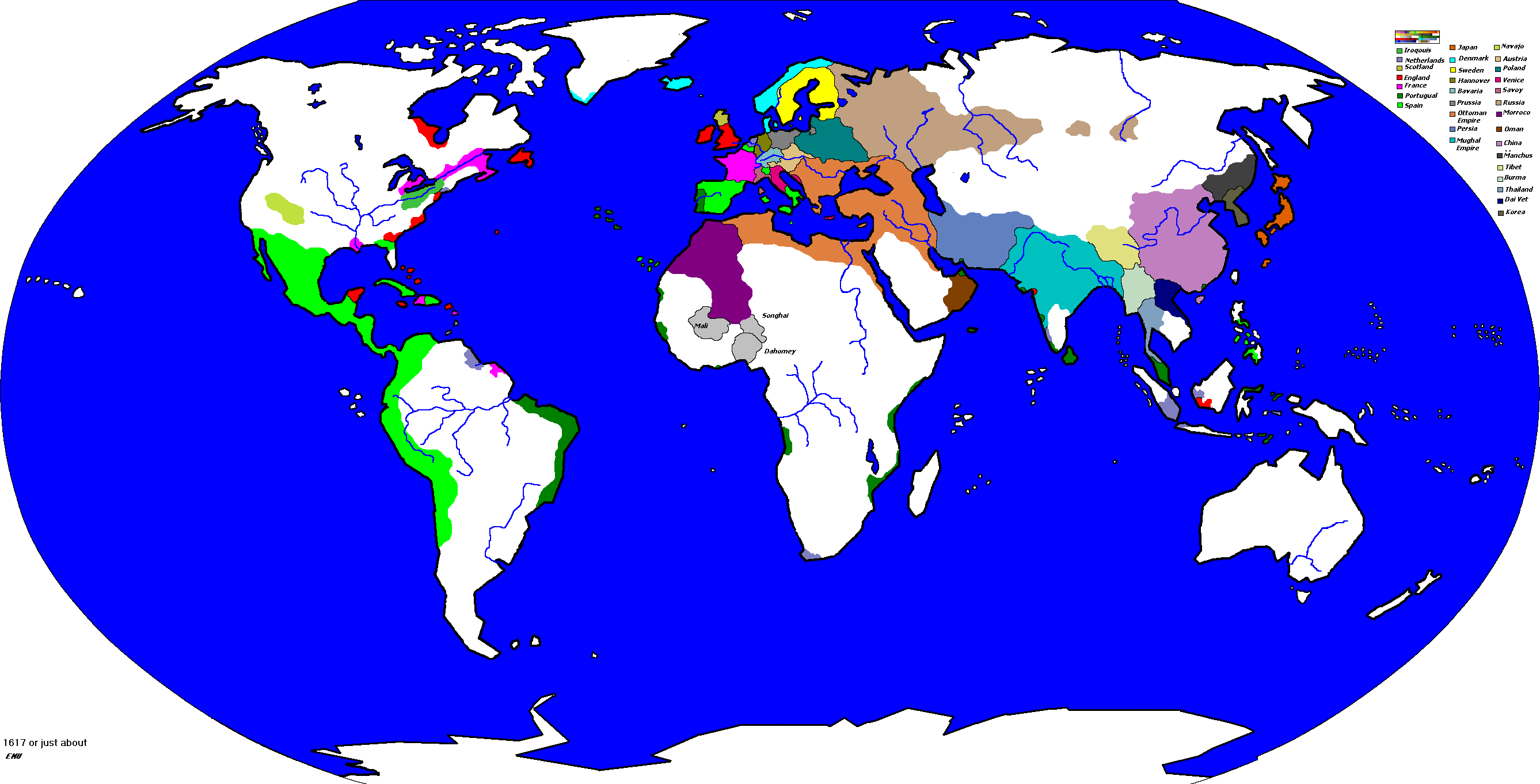
its a map of 1617

emus_colonization.gif
 
Status
Not open for further replies.
Back
Top Bottom