Temujin8k
Fluyts, Grand Vizier of Your Mind
Which new regions do you want to add? Maybe we should have an open discussion about that aspect. Thought about it for some time but couldn't come up with additional regions that would be needed (main concerns are city art styles and religion spread), although I'm open to other perspectives?
- Split up Europe into France, Germany, Holland, Poland, etc.
- Split Transoxania off Persia
- Split off Levant from Mesopotamia and Hejaz from Arabia
- Split the Philippines off Indonesia
- Split Congo off South Africa
- Split China into northern and southern?
- A Bohemia-Austria-Hungary super-region?
- Split Scandinavia into Sweden and Denmark-Norway?
- Split the non-Ethiopian part off the Ethiopia region
- A new region covering modern Afghanistan? (Herat, Kabul, Ghazna, Qandahar, etc)
- Caucasus? (Small only, though)
- Split the United States and Canada into three regions each?
Rome and Naples should be 1W, maybe Florence too. Not sure if Florence AND Milan is a good idea on this map to be honest.
I don't think so. Or maybe I just looked at Google Maps on the cities wrongly. (Yes, I use it as basis for city placement, sorry.) That was the best compromise I made to lessen overlap between Florence and Rome.
Speaking of Florence and Milan, well, they became fine cities in the run I made (screenshot). Just added food resources. The Republic civic really helped them grow, although I think Italy should have a +1
 per specialist as a UP instead for them to have that benefit even after transitioning out of Republic.
Also, I don't like combining Corsica and Sardinia
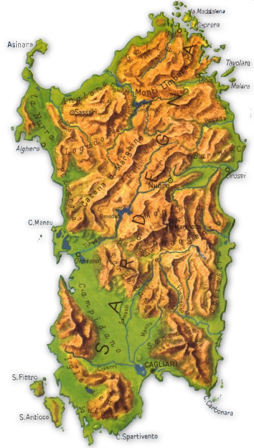
I don't like it too. But I'd prefer that over moving both one tile south. Unless we shift Africa 1 tile south too? Sardinia, at least, looks like it needs a city placed on it.
Last edited:
 ):
):


") I think we can omit Talinn and Minsk, though. And, Prague moved 1S?
I think we can omit Talinn and Minsk, though. And, Prague moved 1S?