- Home
- Forums
- CIVILIZATION IV
- Civ4 - Creation & Customization
- Civ4 - Project & Mod Development
- Civ4 - Rhye's and Fall of Civilization
- Rhye's and Fall - Dawn of Civilization
You are using an out of date browser. It may not display this or other websites correctly.
You should upgrade or use an alternative browser.
You should upgrade or use an alternative browser.
Alternative Map for DOC
- Thread starter Bautos42
- Start date
I would start by moving Ireland north one tile.
I tried my hand at making europe more aesthetically pleasing :
Also I think more land in northern scandinavia is definitely better.
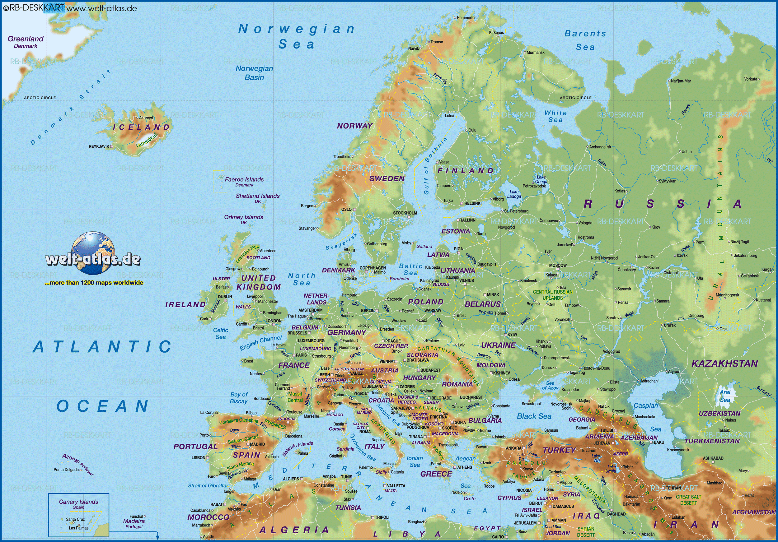
Aesthetically pleasing is highly subjective, accuracy certainly is not: If you compare your changes to an actual map of Europe, you'll see they don't actually resemble the shape of the regions. I think that except for Scandinavia, my map is pretty close to reality:
Spoiler :
England is just not as straight as your england would indicate. Furthermore, your changes loose the shape of the Catalonia region. The way Catalonia looks in the current map was one of the things bothering me most about it. Finally, removing the tiles along the coast of the Netherlands would just rob the Netherlands some much needed space, while at the same time making the north-western coast of Germany too short.
I admit my take on Scandinavia is far from perfect, yet I don't think gaining more accurate angels while loosing the slim look of the region is a good trade. Additionally, please keep in mind that eastern Scandinavia should look accurate too.
I would start by moving Ireland north one tile.
Having the southern tip of Ireland on the same height as the southern tip of Wales seems pretty accurate.
Temujin8k
Fluyts, Grand Vizier of Your Mind
I also fixed the Philippine archipelago since it looks weird for me and as a Filipino it bothers me somehow. 

PS: Sorry for some of the unknown civ colors: I changed a bunch of them thru a module in my local copy of the game.")
Spoiler Philippine archipelago, fixed :
PS: Sorry for some of the unknown civ colors: I changed a bunch of them thru a module in my local copy of the game.
Temujin8k
Fluyts, Grand Vizier of Your Mind
Ah. By the way, I'm currently working on a savegame with preplaced cities. Will post some screenshots once I finish many areas. I hope it could be of great help especially once the city name maps and the scenarios are overhauled.
inthesomeday
Immortan
- Joined
- Dec 12, 2015
- Messages
- 2,798
Ooh that's a beautiful archipelago
I agree. This confirms my hypothesis that its always best to have local people edit maps for their respective regions.
inthesomeday
Immortan
- Joined
- Dec 12, 2015
- Messages
- 2,798
Look Leo we can totally fit a Civ there. Heck, I'll write everything but the code.
Temujin8k
Fluyts, Grand Vizier of Your Mind
Thank you, everyone! Just wanted to help out especially since I'm so excited to see this map become official too. I also kinda felt the need to justify the Philippines' size--I knew around how big it is in square km but didn't know how big it was relative to other countries. Just researched a while ago and found out that it's just slightly smaller than Italy.
I still have to read some more to confirm resource placement there, but I'm pretty sure about the rice and the banana. There must be cotton, but I'm not yet sure where to place it. (Edit: the 2 fish are confirmed too. They're not seen, tho: Manila 1N1W, Davao 1S1W)
I also considered optimum city placement. In the current map Cebu cannot be placed because it's too small. The enlargement should allow this now, especially since it is a historically important city: the first Spanish colony was established on this island (or maybe in the surrounding region), and Magellan was killed here too. In the 1700 AD scenario this city must be preplaced along with Manila.
About the island spam in the coast, I intentionally did that because there are like a LOT of islands here (used to be 7,107 for a long time; recent news said it increased to around 7,500). The modified geography I made is a compromise between accuracy and aesthetics. The land tile 2E Cebu (that represents the island of Leyte) is not supposed to be connected to the large landmass (Luzon), but I considered also that the city that can be found on the cotton tile (Naga) is also important, and could perhaps deserve a tile of its own. I'll edit some more, including island features on the oil tile and 1W of it, representing the Spratly Islands.
Last edited:
Temujin8k
Fluyts, Grand Vizier of Your Mind
Look Leo we can totally fit a Civ there. Heck, I'll write everything but the code.
YES PLEASE. But, spawn on 1898 AD? If we really do this, maybe we could also justify a little bit the addition of Australia, which according to some posts I read here in the forums, should spawn later.
inthesomeday
Immortan
- Joined
- Dec 12, 2015
- Messages
- 2,798
I still think it can start earlier either with some of the northern kingdoms or the Sulu. Currently there's never Islam in Indonesia which is very wrong and having an earlier spawning Sulu Sultanate with Islam missionary would help with this. Of course that's opposite of how the spread of religion happened but Islam in Indonesia is important historically.
Temujin8k
Fluyts, Grand Vizier of Your Mind
Good point about the earlier spawn! Maybe 900 AD? Kingdom of Tondo? Alternatively, the spread of Islam to Indonesia and the Philippines in the 15th century can be hard-coded in Religions.py.
Temujin8k
Fluyts, Grand Vizier of Your Mind
By the way, I've already made an initial version of the city placements. The screenshots gallery, as well as the savefile, can be found here.
This savegame is based on yesterday's latest commit (most recent commit in link) rather than today. Not sure if still compatible, haven't tested yet, but since Leo modified C++ header files in the DLL, I doubt it's still compatible.
This savegame is based on yesterday's latest commit (most recent commit in link) rather than today. Not sure if still compatible, haven't tested yet, but since Leo modified C++ header files in the DLL, I doubt it's still compatible.
Last edited:
soul-breathing
Emperor
When I want to edit the stability map in this map, and click DoC Maps in WB, this error box appears. How to prevent it?

Spoiler :
merijn_v1
Black Belt
The python files which store the maps are set to a map size of 124x68 tiles. They cannot deal with the bigger map. I do have updated python files which can deal with the larger map. I will upload them soon.
Alexius08
Emperor
- Joined
- May 28, 2010
- Messages
- 1,201
Is this the resource placement from before the Columbian exchange? I noticed that you haven't placed those new resources outside of their places of origin.I replaced Potatos->Rice, Cocoa->Coffee and Olives->Bananas, as these resources do not appear in the same region anyways.
Did you adjust SettlerMaps.py for the new size of 150x80? The same has to be done for WarMaps.py and CityNameManager.py.The python files which store the maps are set to a map size of 124x68 tiles. They cannot deal with the bigger map. I do have updated python files which can deal with the larger map. I will upload them soon.
I agree with this perspective, and I have plans for additional terrain types in the future to represent this better.regarding climate: a while ago there was a post by another user who changed the basemap with regards to topography and interrelated climate effects. tibet and iceland were icy, hokkaido was barren, as were most of scandinavia, scotland and the caucasus. deserts were bigger and canada had way more forest coverage but way less green meadows (barren instead). this was FAR more realistic than your map currently is. while i APPLAUDE your effort and absolutely love it (also thanks to J422 for his finetuning..i think it looks better this way, too) i would definetely consider changing these areas. otherwise i see the danger of having unrealistically large populations in the norhern hemisphere. sweden has like 9 million inhabitants irl, norway even less. in your current outline they would boost megacities of 18 pop and upwards. simply not realistic. the same goes for canada and russias north (more icy fields here, more barren fields in siberia!).
However, when creating a resized map the first goal should be resizing only, while keeping the decisions about climate and vegetation from the old map the same. If we change everything at the same time it will become much harder to get each of these aspects right.
Similar threads
- Replies
- 18
- Views
- 1K
- Replies
- 5
- Views
- 649
- Replies
- 3
- Views
- 637
- Replies
- 3
- Views
- 782