I'm open to requests, as the first post says. I can be picky about what I will and won't do, though, so no guarantees.
I will request a FF IX(Final Fantasy 9) world map then
") I did a search and found no maps for it
I did a search and found no maps for it  FF IX is my favorite FF.
I'm open to requests, as the first post says. I can be picky about what I will and won't do, though, so no guarantees.
I did a search and found no maps for it FF IX is my favorite FF.")
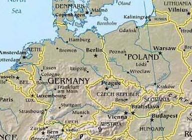
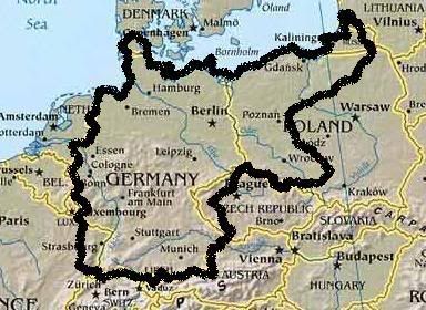

...there is a request I have, however. I've been trying to get a map of this region, but despite immense amounts of tips and tricks from other members (thanks for that again, by the way guys), I'm not too good at getting what I want. I was thinking a 75x105, as that would technically make it a medium sized map, which are actually the size I prefer working on the most, for their playability and for their convenience when making the scenario. So if you decide to help me out here so that I can get to working on this scenario, I would definitely prefer a medium sized map, so not too large please. I'll let you be the judge on the exact proportions of the map.