Thorgalaeg
Deity
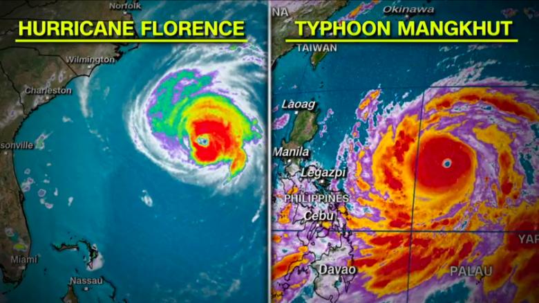
Which is unnecessary and problematic. How to call excepcional ones happening out of its typical zone? For instance Europe. We probably will have to face this nomenclature problem in the near future with GW and such.Right. In the Southern Hemisphere, they're cyclones. In the Northern Hemisphere, east of the International Date Line, they're hurricanes; west of it, they're typhoons.

 Millions of people live there. The terrain is very rough. Infrastructure is 3rd world. People are gonna die.