NES World/Regional Maps II

Status
Not open for further replies.
@Cuivienen
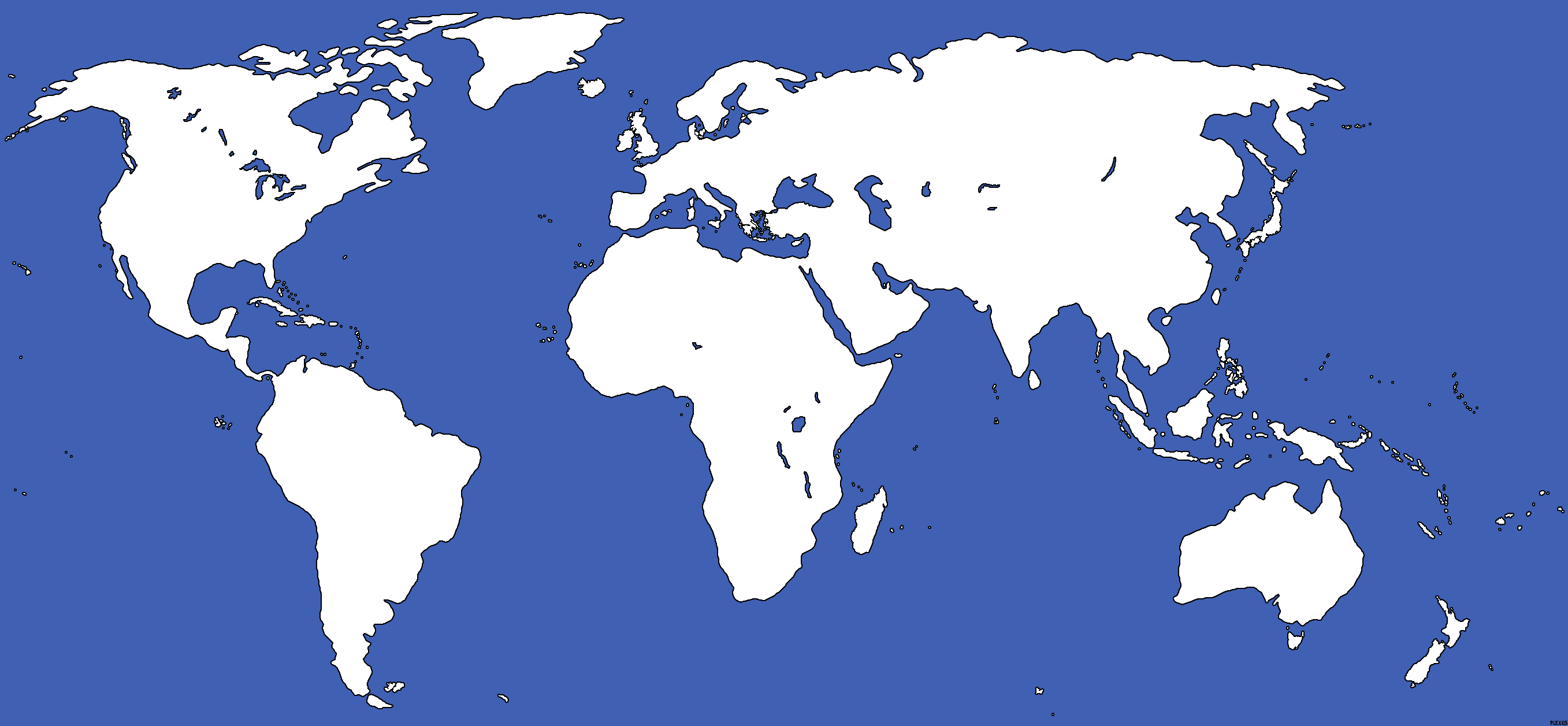
well i had deleted all the cities and names from the original map becouse i wanted a clear one but in the way you edited they look awsome, dont worry about the size, this size is much better.

@Panda, HOLY **** that maps looks awsome! very cool seas too!
 
@Panda

Holy mother-****ing ****!:eek:

It's really nice, but I'd like to just see the area I specified.

But for the "Just Greece" map, use the same seas, I'm loving it!:clap::thumbsup:

(Because, y'see, It'd be hard to represent all the little Greek City-States on that map... Sparta'd be so tiny it could only fit one city! And don't get me started on poor old Corinth!:lol: )
 
@Amen: Hows this? I know the map looks a tad pixelated, but I think its okay.. What do you think?
 

Attachments

  • greece.png
    greece.png
    438 KB · Views: 529
EDIT: See Page 23 for a much better version of the Jason/NK/das/Cuivenien World Map.
 
My European Masterpeice! My greatest work yet! :D

Well, I think it looks good :p 
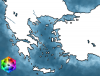
Although there might be some inaccuracies with the rivers. Tell me what you guys think, I made this specifically for a NES focused on europe, Medieval/Renaissance/Musket/Napoleonic/etc. :)

Edit: new version here: Thanks to alex for pointing out the lack of several rivers, which i have corrected::


Edit: Updated version a few posts down
 
Remake the euro rivers, and make them thicker! When you start making borders you just in mistake delete the rivers cause their so tiny! Make them thick.
 
Thats for the mods to decide and to pa yattention to. I think the map is excellent!
 
Oh and add rivers in Britian, Spain and Scandinavia (I would have said Arabia and North Africa if there were more big rivers at all... ;))
 
@Panda

It's a little pixelated for my tastes. If you could just sharpen it. It shouldn't be too difficult with Photoshop, should it?:undecide: And perhaps clean it up a bit, I just tested it in Photoshop, that's one hell of a coloring job to add territories!:eek:

I'm not being too pushy, am I?:sad:
 
Amenhotep7 said:
@Panda

It's a little pixelated for my tastes. If you could just sharpen it. It shouldn't be too difficult with Photoshop, should it?:undecide: And perhaps clean it up a bit, I just tested it in Photoshop, that's one hell of a coloring job to add territories!:eek:

I'm not being too pushy, am I?:sad:

The paint bucket is your friend. Outline the countries' non-ocean, non-river borders, then fill.
 
plxnes5wrldmap-blank-1j.png


Plexus's General Use NES World Map - Version J. Derived by Plexus from work by Pcb21 and Vardion,

Copyright ©2004 Tyler "Plexus" Berry.
Permission is granted to copy, distribute and/or modify this document under the terms of the GNU Free Documentation License, Version 1.2 or any later version published by the Free Software Foundation; with no Invariant Sections, no Front-Cover Texts, and no Back-Cover Texts.

Subject to disclaimers.

Changes I&J:
-Redid Turkey and Greece. I
-Smoothed out Britain and some minor Danish Isles. I
-Redid tip of Denmark. J
-Redid Qatar. J
 
@Cuivienen

Gimme more credit than that!:p;) I tried the paint bucket. ya end up with... Well just try it, you'll see what I'm talking about...
 
anyone willing to make a map of the world based on plexus' or someone else's with modern borders on it?
 
Actualy look in this... First page, It's writing in big Modern Map here!

I'll make out of this one modern?
 
Status
Not open for further replies.
Back
Top Bottom