New Map Overview

When it's implemented, will the old map be still playable?
Personally I would never play the old map again but not everyone's computer could handle the new map especially during the late game.
 
No, it's just too much effort to keep track of everything for two different maps. Maybe a lot later on we can bring it back, but having proper generic support for multiple maps is whole new feature on top of everything else.
 
When it's implemented, will the old map be still playable?
Personally I would never play the old map again but not everyone's computer could handle the new map especially during the late game.

@Leoreth With this in mind, is there a recommended minimum spec that a person would need to run version 1.17 of DoC? I'm well overdue an upgrade to my PC, so I want to make sure I don't buy something that isn't up to the task.

My current PC can get me to the modern era with the occasional crash or two along the way, but the waits between turns can feel like a lifetime in the latter stages (until everyone else collapses!).
 
The map is not part of 1.17 so no need to worry. Considering the map isn't playable yet, there is no information what the performance impact would be.
 
Well, what can i say... I'm looking at Italy and Mediterranean Sea... In Italy there is space for Rome of course, Naples, one city in Sicily, Venice and Turin, and another one in Sardinia.
No more Sparta in Greece but there is a new spot in Thessalonica.
North Africa looks strange.
I'd like to try a game with Romans on this map.
 
Guess people can play 1.17 on the old map if they can't handle it ^^ New map looks sweet as it makes empire being able to be bigger empire and cities to be less clustered.

Rome looks like you can fit easier 2 cities then before. England is less cramped, Japan is big lol which would help them to develop (often they tend to stagnate for ages in my games)... China and India are massive wow.

Wonder if there will be changes to the number of cities per age you can have etc... cause you can have more then before? From Early Classical empire like Rome, Persia etc... The later often collapses from over expansion. :p
 
Last edited:
i really have to say that the new map is quite beautiful and a great successor to the old one. it will make dawn of civ a stand-alone mod in its own right, i guess.

but when i was going over the map and counting how many potential cities i could place as russia (for example), well, i could not stop counting. it is a LOT of place.

my concern: the AI is dumb. very, very, very dumb. and it will settle until there is no more space left to do so or conquer all indy cities. this is what i encounter in my games all the time, and staying with russia as an example, it is not uncommon to see a 50-city-russia on the current map in many games already.

wouldn't this crash the game or make turns take several minutes to process if the map has, say....250+ cities on it?

I wonder if this could be fixed slightly by changing the rule back to cities having to be at least 3 tiles apart, rather than 2?
 
Questions like this are why the map is currently playable and why it's not as simple to make it playable. The available space and the changed distribution of space (for example, China is now - correctly - much larger) needs to be accounted for. And we do not even allow how the AI will behave on it for example with city founding.
 
You know Persia, India, China and Africa all look huge in this. Hopefully we'll get one or two more civs, maybe something like an Azerbaijani and a Bengali civ, to fill out the gaps.
 
The Safavids were Azerbaijani so you could say they're already in.
 
You know Persia, India, China and Africa all look huge in this. Hopefully we'll get one or two more civs, maybe something like an Azerbaijani and a Bengali civ, to fill out the gaps.
Also it is chance ti incorporate Trardom of Medes (pre-Persian empire in the same area)
Perhaps militaristic ASSIRYA is great choose too:)
 
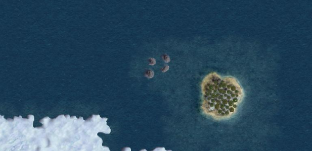
I have to ask, why does this island (South Georgia I guess) has trees? . IIRC there aren't trees in the islands around the Antartic (not even in Falkland which is relatively northern of South Georgia), or am I wrong?
upload_2020-9-17_19-14-0.png
 
This has already been changed recently. I didn't post any screenshots of it though.
 
Quick bump to bring this back to the first page.
 
I think the West Coast of the US should be flush from California up to Washington. Perhaps 1 tile of ocean to represent the Puget Sound.
 
The curve is intentional since the map is based on the Robinson projection, not Mercator or something in that family.

In that case, I suppose it's accurate to what the author intended. I'd probably just replace the Puget Sound with a river and make Washington State flush with Oregon because it feels the Pacific NW has been truncated.
 
In that case, I suppose it's accurate to what the author intended. I'd probably just replace the Puget Sound with a river and make Washington State flush with Oregon because it feels the Pacific NW has been truncated.
I can see what you mean, but I don't think the water tile there is just representing the the Puget Sound; it also represents the Straits of Juan de Fuca, which separate Washington state in the US from Vancouver Island in Canada. Yes, a whole tile is too big for those bodies of water, but the alternative is having Vancouver Island connected to the mainland at two points, which I think would look worse.
 
Top Bottom