Berzerker
Deity
the same flood sank it along with the garden
Atlantis fits into all this... how?
the same flood sank it along with the garden

what evidence is there the plates were re-arranged? I'll bet there's evidence they weren't, like magnetic fields.
maps may show people knew of Antarctica but its been locked up in ice for a very long time.
http://geography.about.com/od/physicalgeography/a/magnetic.htmIn the 1950s, ocean-going research vessels recorded puzzling data based on the magnetism of the ocean floor. It was determined that the rock of the ocean floor had alternating bands of embedded iron oxides that pointed north and south. Thus, in 1963, the theory of the reversal of the earth's magnetic field was proposed and it has been a fundamental of earth science since.


not sure what you're disputing but reversals dont tell us the plates weren't recently re-arranged, just cooling magma in the presence of a magnetic field
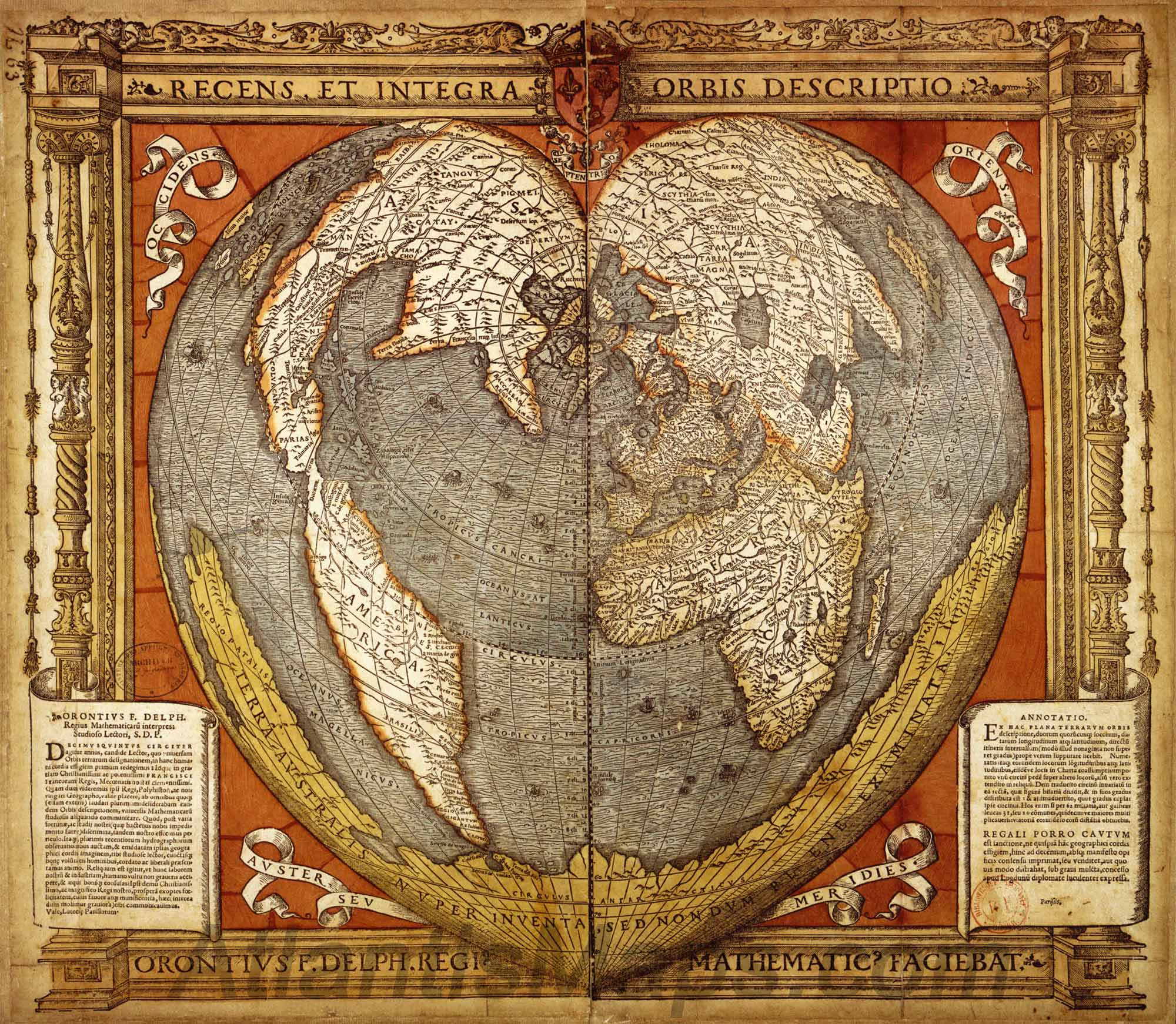
That first map is from 14000BC???
We are not looking at the city names though. Those could be added. It is the detail and position of the continents. Point being that no one had charted these areas yet, but this map which is similar to the map of the German Johannes Werner, Giovanni Battista Ramusio, theTurkish cartagrapher Hadji Hamad, as well as the French cartographer Orontius whose name appears on this version.
Saying it was from 14,000 BC puts it before the Great Flood and earth upheaval at the end of the last Ice age. The ice age covered the NA like was said, but when it was in it's original position before it moved south during such an upheaval. There is no historical accounting for such a map prior to this time period since before pre-history around 8000 BC. The mystery is where this "source" map came from that the above mapmakers had access to.
It may be possible that the Chinese did it, but there are no real links available for such a connection.
Aha! Finally you show your True Imperialistic Colours!Australia itself wasn't discovered, at all, until 1606 (?), 50 years after the map was drawn.
