Oh.. if it was planned back in the fall, you probably have a "working" copy with the essential steps already prepared including some newly defined Sub-Continents schema(s) for such specially calibrated regions. Then, i'll be waiting for more recent news.. soonish!
Been checking out other YaMP dependant maps & Zobtzler's Americas is precisely the kind of twisted setups that could inspire how the "GiantEarth-Bis" (or Dual) version might exploit dynamic variations of composite details where clipout contexts can be referenced as pure coordinate/values logic rather than just generic naming conventions. Bigger maps, bigger controls necessary -- all of which are basic recipes for storyline designs.
I've already felt the need to revise (( <Replace Domain="GiantEarthLongitude" Value="80" Name="LOC_MAP_NORTH_AMERICA_EUROPE_NAME" ...)) from its default 88 -- so, there might be some more obvious gap steps with upcoming DualGEarth features worth focusing on. For example, the "Classic" theme map above has the Matterhorn tightly locked on the top-left corner which is good for quick unique identity visuals. There are many such worldwide hints on typical concepts.
Other considerations should also help out creating a bigger set of cropped rectangular conditions (XY range limits, CS positioning, available regional quantities, oceanic "waste", etc).
Anyhow.. we'll see.
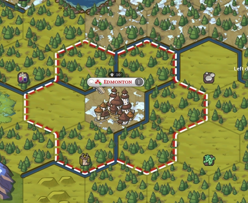
PS; Here's my current Map.xml file which has the latest small Fixes & an alternate Valletta location to help out with unbalanced FloodBarrier/Computer restriction temporarily. This is the type of custom hooks to "cheaty" modes that could stand as potential tricks with DualGE. The opportunity is there, AFAIC.
Been checking out other YaMP dependant maps & Zobtzler's Americas is precisely the kind of twisted setups that could inspire how the "GiantEarth-Bis" (or Dual) version might exploit dynamic variations of composite details where clipout contexts can be referenced as pure coordinate/values logic rather than just generic naming conventions. Bigger maps, bigger controls necessary -- all of which are basic recipes for storyline designs.
I've already felt the need to revise (( <Replace Domain="GiantEarthLongitude" Value="80" Name="LOC_MAP_NORTH_AMERICA_EUROPE_NAME" ...)) from its default 88 -- so, there might be some more obvious gap steps with upcoming DualGEarth features worth focusing on. For example, the "Classic" theme map above has the Matterhorn tightly locked on the top-left corner which is good for quick unique identity visuals. There are many such worldwide hints on typical concepts.
Other considerations should also help out creating a bigger set of cropped rectangular conditions (XY range limits, CS positioning, available regional quantities, oceanic "waste", etc).
Anyhow.. we'll see.
PS; Here's my current Map.xml file which has the latest small Fixes & an alternate Valletta location to help out with unbalanced FloodBarrier/Computer restriction temporarily. This is the type of custom hooks to "cheaty" modes that could stand as potential tricks with DualGE. The opportunity is there, AFAIC.
Attachments
Last edited:
")