Can you identify what these world maps represent?

Yep Marla_Singer has completed the gaps perfectly.

Map 12 shows the same comparison as map 13 however it compares the US GDP with the richest instead of the poorest. It does also have the same misleading problems as map 13.

Map 15 is a 1/3600 scale comparison of the surface area of the planets and Minor Astronomical Bodies (or Plutons) to the nations of the Earth. It's a load of cobblers though because it's compared to the nearest equivable land area. Saturn's surface area is in fact worth a lot more than 3,600 Canadas, it's closer to 4,000.
 
Yay I got the planet one right?:) no? I guessed there was a comparison of the size of the country to the planet. I would've never have guessed the country to the state one though. Only one left... the weird shades of blue... or was that already done?
EDIT: They were all done...:cry: please post some more! There really fun.:goodjob:
 
Ok dech. Some of these aren't maps or in fact of the world, but they do need explaining:

17)
mao16hv8.png


18) Specifically the significance of the route:
map17vw5.png


19)
climatemap.jpg


20) And finally, two words have been deleted from the captions of this map. Can you guess what those two words are?
map20hb9.png
 
these are easy... the routem one is the silk road from china to the middle east in the middle ages... the one with two words deleted is global warming... the one with the relgion stuff is idealologies and religions (found it on iternet). ;)
EDIT: cant get the last one
 
Empire ruler has No. 17 correct.

On this map, East and West Germany are next to each other, as one would expect. But Romania’s closest neighbour is Armenia? And Poland and India are side by side? Well, this is not a straightforward geographical map, but a cultural one. It plots out how countries relate to each other on a double axis of values (ranging from ‘traditional’ to ‘secular-rational’ on the vertical and from ‘survival’ to ‘self-expression’ on the horizontal scale). This makes for some strange bedfellows – for example: South Africa, Peru and the Philippines occupy almost the same position, although they’re on three different continents.

18) Wrong, it is not the silk route

20) The words are not 'global warming' however Eran is correct with 'Evolution'. The other word should be pretty easy now.
 
these are easy... the routem one is the silk road from china to the middle east in the middle ages...
I don't think so. Firstly, the route on that map doesn't go to China. Secondly, the silk route went into Antioch, and even Constantinople, at its western most point. I doubt it's the Silk Route. [cross post!]

I would say, guessing wildly, that it is the alleged route taken by the alleged "12th Lost Tribe of Israel". Yes, there are folk up there in the Himalayas who claim to be the Lost Tribe, just like many other people in many other places. Wild guess though.
 
lol.. sorry thought global warming was the map of europe.. thought you meant two words deleted in that. :crazyeye: 
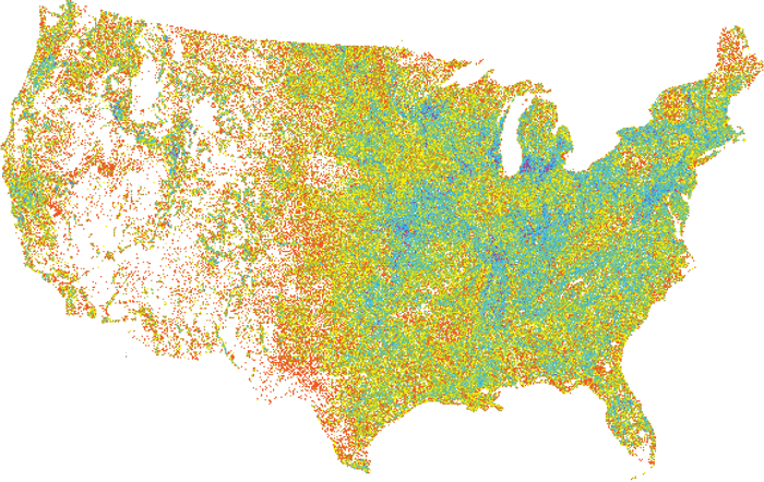
Is the map of Europe current temps. or predicted temps? I think the route represents the 12 lost tribes. Didnt see it close enough... ;) when they were forced out of Judah, into the Pakistan area.
 
is the other word creationism or I.D.?
 
Well, the population density and the presidential elections results by county are almost the same map when it goes about the US. Apparently, below a limit of 2,000 inhabitants per sq. km, everybody votes Republican... above it, everybody votes Democrat.
 
you are right! Im not done yet though:D
23?)
mcclure_map_of_the-_world_a.jpg

24)
map-guess.png

25)
costofliving2005.jpg
 
24 is countries not using the metric system.
Youre right! Maybe your also right about the UNESCO but I don't know. I will get more maps soon... its annoying to delete the names of them;)
 
When you name the file for #25 "cost of living," someone's bound to guess that sooner or later...
 
Back
Top Bottom