- Home
- Forums
- OUR ARCHIVES
- List of Archived Forums
- Civilization III Archives
- Civ3 - Game of Democracy II
- Civ3 - Demo Game II: Government
You are using an out of date browser. It may not display this or other websites correctly.
You should upgrade or use an alternative browser.
You should upgrade or use an alternative browser.
The New Cartographic Office of Fanatika
- Thread starter FortyJ
- Start date
Sir John
The evil one...
Yeah there it is... 
is it possible to actually implent that in the demogame? Is there a savegameditor wich can be used to change the maps?
is it possible to actually implent that in the demogame? Is there a savegameditor wich can be used to change the maps?
Shaitan
der Besucher
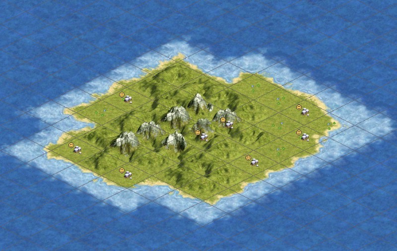
No, we can't edit the actual game we're playing. You could use the regular Civ3 editor to create that island in a map so you have a picture of it.
With the plan to build new cities to fill cultural gaps, I would like to know how to make sure my city name proposal is registered. I posted it in the City Name Registrar's Office, but I do not know if it has been accepted.
Also I have seen some threads by mayors of cities, how is this possition taken and what purpose does it serve.
Also I have seen some threads by mayors of cities, how is this possition taken and what purpose does it serve.
Sir John
The evil one...
Can I come up with ideas for how to part up our newly gained land into regions...
FortyJ
Deity
Sir John
Oh God yes! Please do so.
Chieftess has already come up with one proposal, but it has not yet been voted on. I imagine we'll be voting on these borders within the next week or so, so please submit any proposals you may have in mind.
Keep in mind, that provincial borders must adhere to the underlying terrain whenever possible (ie. borders should follow rivers, mountains, hills, etc), and not necessarily a cities cultural borders. Other than that, though, have fun, and on behalf of the Cartographic Office, thanks for your contribution.
Sir John
The evil one...
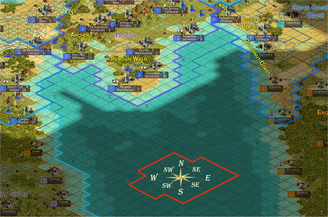
Here is a suggestion for regions of the newly gained land.
Remember that this is my first try on something like this, and the typing and borders must be changed anyway. The names of the regions are just some suggestions I think fit very well...
http://www.civfanatics.net/uploads4/Suggforregion.jpg
Remember that this is my first try on something like this, and the typing and borders must be changed anyway. The names of the regions are just some suggestions I think fit very well...
http://www.civfanatics.net/uploads4/Suggforregion.jpg
 Next time, just post a link. It tends to break my browser.
 Sir John
The evil one...
Im sorry...
BTW: You seriously got a modem??")
BTW: You seriously got a modem??
Yes, there are STILL people with modems, like me.
In fact, could you edit your post just to have a link.
like: My suggested map.
Not to mention, it's gonna use INCREDIBLE bandwidth whenever anyone comes to view a new post. It can cause the entire forum to slow and contribute to server busy errors (like one that just happened when typing this message).
I think this server has a 5gig a month transfer capacity (166 megs per day). Posting a 1+ meg image really eats up on server time with every view.
EDIT: Just noticed the image is 2 megs! That's kind of unnacceptable to post a huge image like that in a post. Such an image will really bog down server time. PLEASE change that image to a link.
Sir John
The evil one...
Its actually pretty small, but its a little long. Thats why it seems to be to big...
Sir John
The evil one...
Whats wrong with beeing long? Most of the provinces that we have is 4-6 citys. The only one with to little citys is the unnamed one...
Sir John
The evil one...
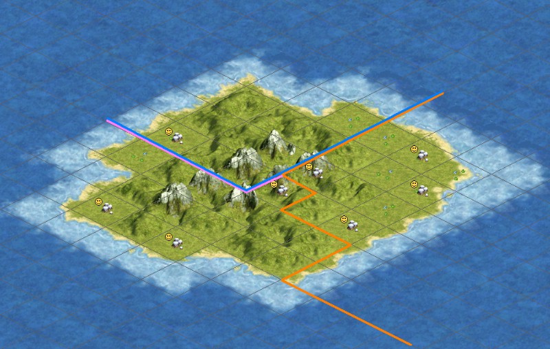
Here is my second try for a region partation and I ahve followed the terrain more now, but I do think my first one is the best... when will the vote be?
my second try
my second try
Similar threads
- Replies
- 16
- Views
- 1K
- Replies
- 60
- Views
- 6K
- Replies
- 0
- Views
- 869