Winner
Diverse in Unity
I think it is two aspects: first is the sudden change. The map to begin with (from the bottom and upwards) has some nice smooth lines. These are consistent with the kind of lines you would expect from continental drift, as most maintain chains are. Then you suddenly enter an area where mountains and highlands seem to be thrown in randomly without thought about where they fit in.
The southern mountain range was created by subduction of the neighboring oceanic plate moving upwards (you can see deep-ocean trench right off the coast), pretty much like the Andes in South America. Behind this range there is a sort of plateau which is interrupted by a rift valley (which in the future will probably split the continent in two).
The mountains you can see in the center and north of the continent are very old heavily eroded formations, left from previous geologic periods of the planet. You can see they're not very sharp and high. So I actually thought about it

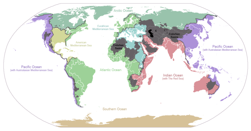
Secondly it is the valleys to west in the map. Valleys can broadly be defined by two types: river valleys and glacial valleys. Those on the map do not appear to fit into either. This is because there are no apparent drainage basins in that map. Drainage basins are areas where rainfall flows in a specific direction. Rivers and glaciers tend to more or less follow these patterns. Simply throwing them in doesn't really make for good maps.
The large valleys in the north-west were created by glaciers, or at least that's the idea. The continent is still in an ice age (keep in mind this planet is a lot cooler than Earth) as the massive ice sheet in the north suggests, but it used to be even more glaciated. As the water levels rose many islands were created and the coast became a bit rugged.
There are no rivers on the map yet, which of course doesn't mean there are no rivers on this planet
 It's just the hardest part and it's usually done after the terrain map is completed.


