CKS-NES - 'Out of Darkness'

I meant more in the terms of what kind of initial input you expect and such.

Basically a sketch of the society for instance within reasonable Stone Age-Early Iron Age cultural norms.

Things I would be after include:
The social order;
'Religious' beliefs;
Economic structures; and
Whatever else you want to put in that will be useful for me.

A fairly simple example of a social order template would be:

High Chief - Controls a group of villages through a specific male lineal descent.
Chief - Controls a single village through election by the elder males.
Council - Acts as a balance against Chiefly authority, composed of elder males.

The High Chiefs hold significant executive power, including the ability to wage war, have some degree of 'natural' authority by virtue of their birth not by virtue of their strength or any other characteristic.

High Chiefs are held check by the Elected Chiefs who hold mostly ceremonial power, but are charged with leading the villages men into battle if the High Chief calls.

The Councils elect the Chiefs directly and are composed of the elder males although suffrage is shrinking and is increasingly tied to landownership non landowners often cannot vote or have a say.


Religion will be fairly crude at this stage, but I'll definitely lay out some general ground rules...

Economic structures I will help players with by specifying the crops or livestock they farm or herd and the nature of the land itself in their chosen region, it will be up to them to decide how they organize it.

What I meant was that since this is set "in a region, of a new world", there would probably also be some major events based on migrations from other regions and suchlike.

Could be an issue every now and then although I doubt it :p
 
Economic structures I will help players with by specifying the crops or livestock they farm or herd and the nature of the land itself in their chosen region, it will be up to them to decide how they organize it.

Might be better to give a general idea of this before people choose their starting locations, to allow them to pick the economic regions that seem most appropriate to their cultures.
 
Might be better to give a general idea of this before people choose their starting locations, to allow them to pick the economic regions that seem most appropriate to their cultures.

Duly noted.
 
Preliminary map is up, as is the draft economic map.

To come:

Geographic map;
Details of starting locations and island clusters;
Appeals mechanism to be outlined soon, awaiting confirmation; [confirmed added to rules]
Basic outline for player start orders.

Rule addition covering an appeals mechanism.

COURT OF MODERATOR APPEALS:

The Court of Moderator Appeals will be a group of impartial non playing NESers empowered by the mod to act in the following capacities:

  • The right to hear cases of Moderator related improprieties;
  • The right to release findings without recourse to the mod;
  • The right to cast decisions binding on the mod, if the players in the majority agree
  • To receive appeals free of the Moderator knowledge from players; and
  • To maintain the impartiality of the mod.

Presiding the Rt Hon Justice Dachs
Currently working on empaneling other Justices.

Rule addition covering a definition of Institutions.

INSTITUTIONS

Henningham describes an institution as,

an established law, custom, usage, practice, organization or other element in the political life or other element in the political social life of a people

Dovers builds on this defining institutions as,

an underlying, durable patterns of rules and behaviour

North defines institutions as,

...humanly devised constraints that shape human interaction

They are made up of formal constraints (e.g., rules, laws, constitutions), informal constraints (e.g., norms of behaviour, conventions, self imposed codes of conduct), and their enforcement characteristics.


He also posited that institutions are designed to,

Reduce uncertainty by providing structure to everyday life. They are a guide to human interaction.

I prefer Norths definition.
 
Geographic map complete. Only need to finish by prettying up the economic areas and probably giving them a simple overlay tomorrows job.

Spoiler :


I also need to know if there is a better site than photobucket for uploading... 1mb is a silly rule. So until then you shall have to make do with a smaller map with less detail :(

Criticisms are welcome, I do have some reservations with the large north-eastern island.
 
What's the scale?
 
Signing up.

EDIT: Oops, didn't realise this wasn't starting yet...
 
you could try 'tiny pics' for your maps and pictures.
 
What do the orange areas of the economic map indicate?
 
What's the scale?

Corner to corner around 5000km, the distance between Papua and Burma, on the diagonal. The actual map detail is probably slightly out of kilter with the dimensions, but I wanted players to be able to see stuff.

What do the orange areas of the economic map indicate?

Good starting locations for whatever reason. I will elucidate on each and every one in quite some detail. Including things like technological level, points available for crafting their intial cultures, a general outline of base level institutions and whatever else the players desire.

I would also like to advise that I will be pointing out the general racial outline of the islands, which will mean cultures of the same 'race' will be similar at least in some respects when you start. I don't quite know if race is the right word.
 
Ah, so it is an archipelago? That's certainly different from the usual cradle fare, but I tentatively approve. For some reason I can't help but think that the central western island and things further south could do well to be rotated a bit, counter-clockwise; probably because areas directly to the northwest and the southeast seem empty somehow (also, who has ever heard of large straightforward vertical islands?).

Also, what about our flora and fauna? Or is that to come?

EDIT: As to the orange areas, why aren't there more in the large island to the northwest of the southeasternmost one (also, I know there are good reasons to hold this off until later, but maybe you should give them some kind of tentative names or numbers? Because I can see that becoming useful shortly. ;) )?
 
Ah, so it is an archipelago? That's certainly different from the usual cradle fare, but I tentatively approve. For some reason I can't help but think that the central western island and things further south could do well to be rotated a bit, counter-clockwise; probably because areas directly to the northwest and the southeast seem empty somehow (also, who has ever heard of large straightforward vertical islands?).

Good reasons for everything :p

Also, what about our flora and fauna? Or is that to come?

Coming in the details.

EDIT: As to the orange areas, why aren't there more in the large island to the northwest of the southeasternmost one (also, I know there are good reasons to hold this off until later, but maybe you should give them some kind of tentative names or numbers? Because I can see that becoming useful shortly. )?

Already numbered, currently writing exactly why there is a nice fairly large gap in terms of economic zones running horizontally in the middle as well ... ;)

Economic zones also roughly correspond to development... not completely but they tend to correlate reasonably well.
 
The thing with the economic map is that the 'orange blobs' cover the underlying terrain. It would be interesting to see an economic map where the orange blobs have a greatly reduced opacity (like 5-10% remaining) so we can see what terrain they are composed of.

i.
 
The thing with the economic map is that the 'orange blobs' cover the underlying terrain. It would be interesting to see an economic map where the orange blobs have a greatly reduced opacity (like 5-10% remaining) so we can see what terrain they are composed of.

I'm working on that. I can only stomach so much mapmaking in a day.
 
Can I start creating my culture and stuff? Or isn't there enough information to do that?
 
There isn't quite enough information yet. I will be remedying that soon.
 
Masada said:
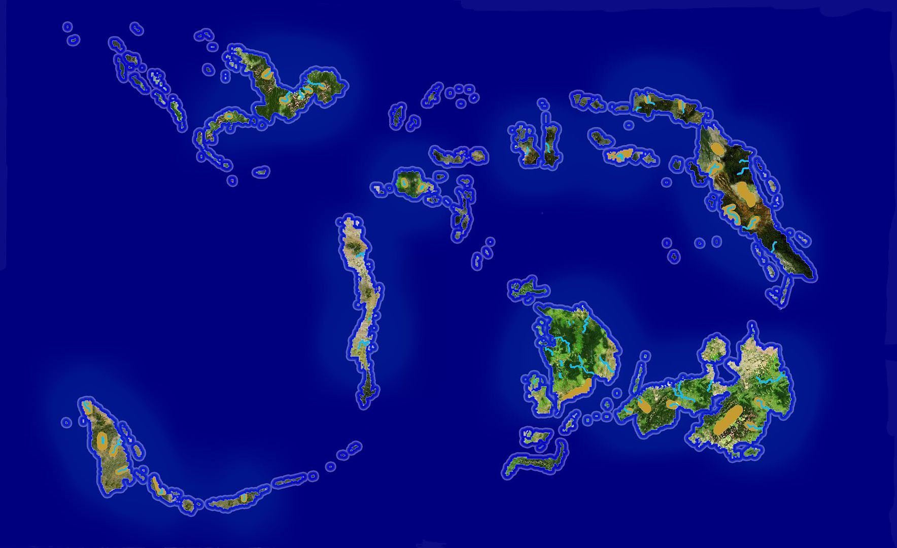
Sisisnc is a region of environmental and societal complexity. It encompasses a collage of sparsely forested highlands, damp lowland jungle, ubiquitous coastal valleys and endless bodies of water. It runs for approximately 5000kms from the most north western island through the equator and onto the south eastern most island. Throughout this region are represented societies of many different socio-economic levels – from hunters and gatherers through to tribal farmers and finally to stratified chiefdoms with knowledge of iron and bronze working and increasingly complex farming techniques. Cutting across these socio-economic levels are cultural differences. These differences reflect geographic isolation, a vast array of bodies of water, bisecting mountain ranges and the flow of human movements, colonisations and invasions.

Sisisnc’s strengths are in three key areas, its skilled farmers, metallurgists and sailors. Its denizens are innovative farmers. This is evidenced by their progression away from dry shifting millet cultivation in the highlands in the core towards wet sedentary rice farming in the rich alluvial plains and its domestication of pigs and chickens. Its metallurgists have already mastered bronze working in all but the most distant areas and have in the core begun to produce small amounts of ferrous iron. Its people, typically measured in boatloads along the coasts, are master sailors, capable of traversing the many water bodies in double outrigger canoes and setting sail for new shores at the slightest pretext.

Cultivation is divided into three distinct types. The oldest method is the farming of millet in the uplands. Famers using this method typically clear a patch of forest then burn it every year. Planting consists of digging holes with pointed sticks followed by the introduction of the seeds. The burn adds nutrients to the soil allowing a limited number of crops to be harvested as the nutrients added wash away. The method has relatively constant yields with little scope for surpluses and population is correspondingly low. These populations are also not confined to any particular geographic feature and tend to move in limited local migration a cycle which tends to militate against the formation of states or other sedentary enterprises. The second oldest method is the cultivation of rice in the highlands. Farmers using this method also engage in the same ‘slash and burn’ and seed introduction practices as millet cultivators. The area under seed however is carefully selected with farmers looking for sloping hills for natural drainage. Yields are somewhat higher than millet, with two crops per season common, with increased scope for surpluses. The limitation placed on the selection of sites introduces a degree of scarcity into the selection of land. It is possible to say that in general that the constraints on production were not due to arable land but to a paucity of labour. The transition from highland rice farming to lowland rice farming can perhaps be attributed to population pressure with competing groups vying for a limited fixed supply of suitable land. Lowland rice farmers rely on the periodic river floods to irrigate their fields and to deposit nutrients in the soil.

Agriculture in the region is not a monoculture system, sugar cane, taro, yams, sago palm, bananas and coconuts are also cultivated. The distribution of the crops is also subject to the same lowland and upland division as cultivation of seed crop. Banana and sago palm plantations are ubiquitous in the low lands, providing a useful compliant to the diets of the population in the advent of rice failures. Taro and yams provide a valuable source of food to upland farmer’s endemic as they are to the forests of the highlands. Sugar cane is maintained sporadically in only the largest groups or settlements, grown separately in small gardens it requires significant investment in terms of labour for even a slight return. Famers also maintain herds of swine and chickens, which they either drive from site to site or keep in pens of bramble or stone. Land animals themselves are not the only animals under the mastery of Sisisnc’s people. Some enterprising souls have taken to trapping fish in small channels or tributaries, feeding them and then draining or allowing the water to evaporate in the dry season. Salting is developing as a means of storing this perishable seasonal bounty, although only in areas with abundant salt.

Sailing in an inhabited archipelago should by the nature of its construction have a long history. Sisisnc is no exception; the coastal dwellers have long referred to themselves not in terms of terrestrial markers but in terms of their position to the sea. One does not say, ‘I live over those hills, and through the deep jungle’ one instead says ‘I live up the coast, past the deep water, and up the river’. Socially they also refer to themselves in maritime terms; they are a ‘boatload’ in number for instance. Social divisions are justified on the basis of which canoe their ancestors travelled on to reach their current abodes. Over time these successive narratives are being strung together, to rationalise the relationships between different islands and groups.

Sailing explains how agriculture and metallurgy spread. The sailors of the archipelago have no written language to record charts or rutters, they only had an oral tradition. What they pass down is the means of navigating not with maps or any other aids but by the swell and wave patterns, cloud formations, winds, birds and sea life. In this way it is possible to sail into the open ocean with no knowledge of what lies ahead and to know just when to turn the double rigger canoe to hit land, tipped off by a flight of birds, or a few strands of weed. For generations upon generations the population of islands would in a bold leap launch themselves across the ocean seeking new lands. Sometimes they would fall off the end of the world, more often than not they would come across islands as yet uncharted.

Metallurgical skill was also widespread, if somewhat geographically concentrated. Bronze, brass, copper, iron and tin are known and used in most islands even if the inhabitants themselves don’t necessarily how to produce them. Metals are yet to be applied to anything other than the generation of ritual and luxury items for which they are prized. Metal working is still a cottage industry. Small temporary forges are constructed in the highlands when occasionally a group strays over rich ores. It is the earliest significant trade item.

Partially finished introduction.
 
I approve, but what of diversity other than in levels of development? Are the peoples of the region closely related ethnically and linguistically or are there several significantly distinct groups? Or is that up to us?
 
I don't mean to sound impatient, but how long until this starts?
 
Note: This might be subject to some minor changes... it was written when I should have been in bed :p

Masada said:
There exist three linguistic traditions in Sisisnc. The first example is largely confined to the smaller islands and is seldom heard in east, maritime words are often held in common. For example:

Island: Mulu, Moso, Nosee, pulso, pula and pol.
Fish: Iki, Iwk, Ike, Ike, auk and eua.
Coconut: Kelpa, Kalpa, Kalapa, bupa and nu.
Banana: Pitang, Isang, Itanun, Gedhun, Pilang and Ikung.

This tongue accounts for most of the linguistic diversity of the region. It is primarily a coastal dialect which is mostly spoken in the western stretches of Sisisnc, as far as the big islands. Relative geographic separation has given this language group the most diversity. It is possible to conclude that of all the groups this is by far the newest to Sisisnc their exact origin and entry point into the region are unknown.

The other prominent linguistic tradition is mostly confined to the coastal areas and lower highlands of the big islands. Linguistically is has drifted apart, however it is by far the least diverse group of languages and has currently the most speakers.

Crops: Lengmang, Engang and Lencang.
Deer: Teyo, Eyo and Eo.
Dog: Khu, Hum and Hu.
Tree: Tsu, Tsaw and Tsa.

The final linguistic tradition has the smallest number of speakers, but the second largest number of languages. Highly fragmented and fundamentally different to the other two linguistic groups, which have a similar logic behind them this group is confined to the highlands of the big islands and the most northerly middle group. They are also the oldest group in the region the hills in some regions have been shaped by successive generations planting millet.

Mountain: Mik, Kim and Kime.
Hill: Mori, Oris and Mor.

The linguistic groups also approximate well to the differing levels of social and economic development. The first group corresponds with a fair degree of accuracy to those who have developed lowland rice farming and are by far the most numerous group. Geographically they are limited to the eastern group of islands which form a ring. They have the weakest maritime tradition and are largely now confined to short island hops. The second group corresponds predominately do not cultivate any grain and largely rely on taro. In the islands closest to the central ring they practice advanced millet farming although this is highly dependent on climate. They have the strongest maritime tradition and are capable of making trips away from the coast. The third group live predominately in the most impassable islands of the ring and a single chain of islands for which they are still the dominate group. They practice by far the widest variety of farming, ranging from dry millet farming to wet rice farming in the alluvial plains. They also have the most varied maritime tradition ranging from groups which have never seen the sea in the deepest highlands to people who really only know the sea darting from island to island.

I largely believe I will leave this up to the players, with some proviso's that it stays on a reasonably believable course, I reserve the right to remove things.

I don't mean to sound impatient, but how long until this starts?

I now largely only have to do a short summary of the various regions, probably in dot points and ask any potential players what additional information they would like?

An example:

Masada said:
Zone A:

Agriculture and Farming:

No knowledge of rice farming as yet;
millet ill-suited to the rich alluvial floodplains due to endemic ‘root rot’ bought on by the persistent moisture;
fish ‘traps’ for fattening up fish created with artificial blockades of numerous small tributaries; and
maintains large stands of bananas, sago palms and coconuts.

Social Structure:

Population density is low and is organized by direct familial ties, does not form settlements larger than a couple of dozen;
Population largely concentrated near rivers due to the substantial semi-tropical forests;
‘High Chiefs’ may be able to call together a number of extended familial units for limited warfare; and
Newly settled in living memory, large portions of the interior not settled.
 
Top Bottom