RedRalph
Deity
- Joined
- Jun 12, 2007
- Messages
- 20,708
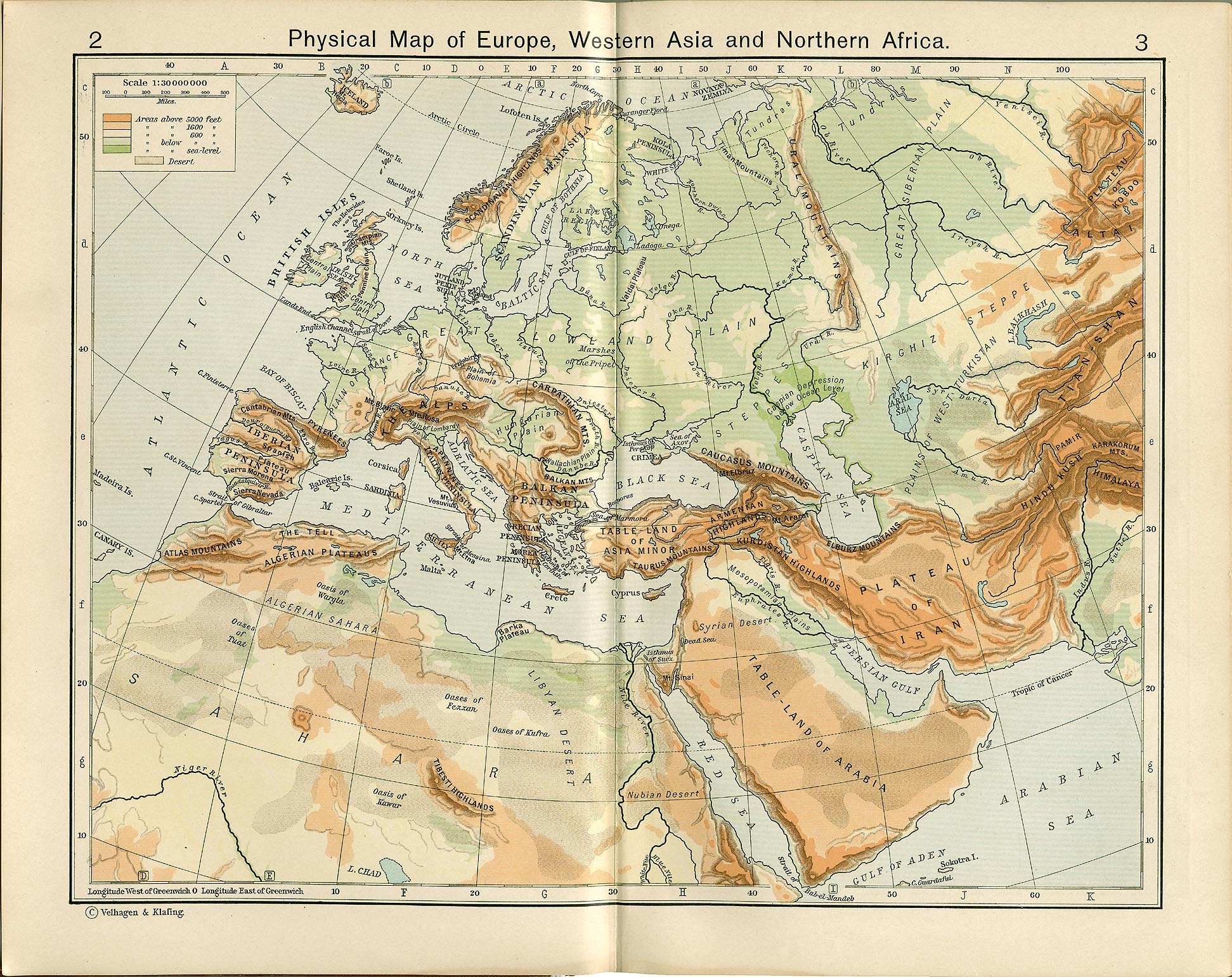
Open Google Earth and look at Europe. Remove the political boundaries, forget about existing cities, imagine it's pre-human colonisation. Which locations strike you as cool for cities, speaking totally aesthetically? I would love to see major cities in Istria, The mouth of the Danube and on Rugen

")


")

 and my wall was suppose to be the Theodosian Walls.
