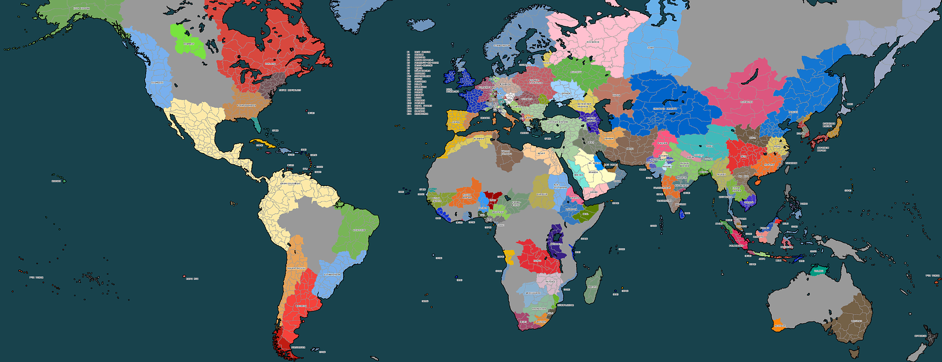
A semi-random map I drew for a NESlite, province-based NES I was going to host. Each color (excluding the multiple dark-gray, which were
impassible 1/2 income mountain ranges) represented provinces that also had islands, just for the value of showing which islands belonged to which provinces.
I know not much can be known by this representation of a fictional world, but in the stats for each province (yes, provinces have stats) there would've been a description of what resources were readily available there, as well as a broad "biome" map.
Each continent-like island (imagine largest island in the east was the size of Iberia) would also have a broad description of what was in it.
Any comments/feedback? Constructive only, please.
EDIT: Just realized Imageshack resized on me, not that anyone particularly cares. I've fixed it now.


") I am working on a map for a possible future NES and I wanted a good guideline for the Weimar Republic to model this particular Germany after, instead I decided to wing it. I think my result fits the story line better. I started it today:
I am working on a map for a possible future NES and I wanted a good guideline for the Weimar Republic to model this particular Germany after, instead I decided to wing it. I think my result fits the story line better. I started it today: