@Joe
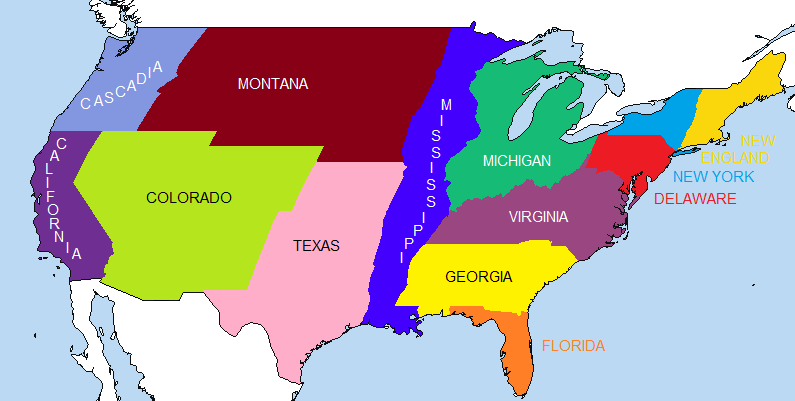
I reject the notion that San Jose could ever be considered "Southern California". And you cut the city in half, at that.
Well, the scenario involves a "tug-of-war" over control of California between the Oregon Empire and it's puppets, and the Southern California Confederacy and it's puppets (San Francisco being the only actually independent city left in California). So it seems as though SCC has made it far north enough to conquer San Jose for itself, possibly out of San Francisco hands, I'm not sure, haven't written the history yet.


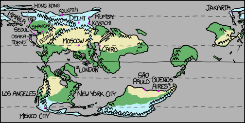
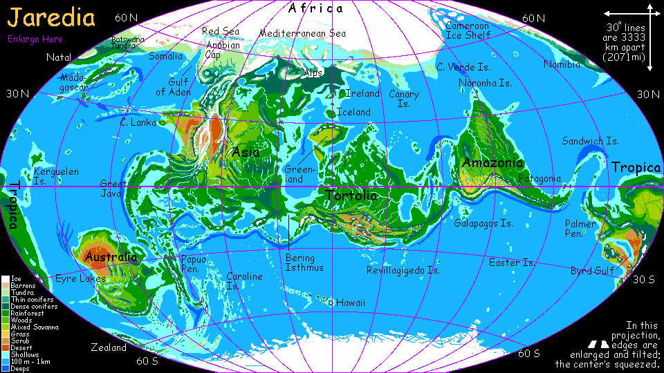

") Some of the maps are a bit weird, but I like the guy's attention to detail.
Some of the maps are a bit weird, but I like the guy's attention to detail.