Syno
Deity
- Joined
- Nov 19, 2006
- Messages
- 24,885
That's been posted before
In a thread hurting for content, I'm sure we'll survive.
That's been posted before
Athelstan Spilhaus made that map? So... a South African cartographer with an Anglo-Saxon first name produced a French-language map... Sounds legit.
Estonia Ball listened.Back in the day in frequently trolled with this map - the version accurate at the time that is.
We have made huge gains. Which should be cause for celebrations.
Note to self:
Talk to Estonia Ball.

http://jcourt.net/1531-map-of-an-ice-free-antarctica-2/
why does Antarctica show up on a map centuries before the continent was discovered?
http://jcourt.net/1531-map-of-an-ice-free-antarctica-2/
why does Antarctica show up on a map centuries before the continent was discovered?
Well, "better" depends on what we are looking for.You can do better than that @metatron

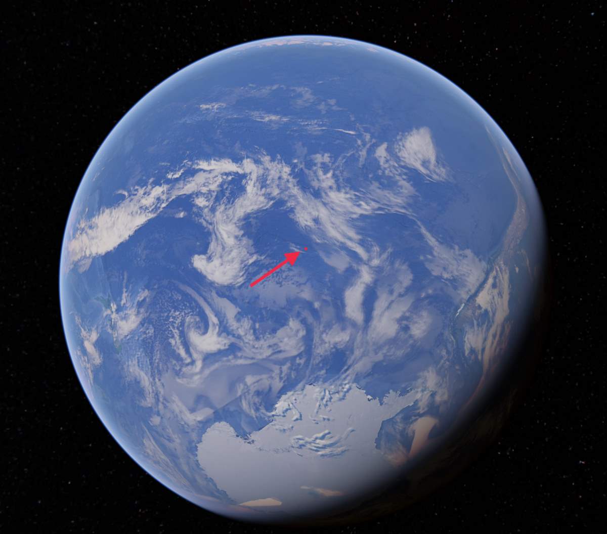
OK, the last one is a regular world map flipped horizontally. What are the other two?