Immaculate
unerring
- Joined
- Jan 22, 2003
- Messages
- 7,623
Starlife; i've made a few maps since i've been here and i'm pretty proud of them but they got nothing on that beauty. Consider it stolen (please remove watermark).
Well, the texture's really nice. I love those little bitty mountains with nice fluffy white snow on the top. If there was anything to suggest, I would recommend having less water...because the current shape that your world has looks somewhat impossible to form by conventional plate tectonics and erosion...
Butthen again this IS fantasy. Consider it just my pet peeve.
")
That's now how the Midwestern inland sea looked.
Personally I don't like how the continents are shaped; they're way too stringy. The detailing of the map is really very lovely, though.
")
Anyone want to play Cold War with this?
Spoiler :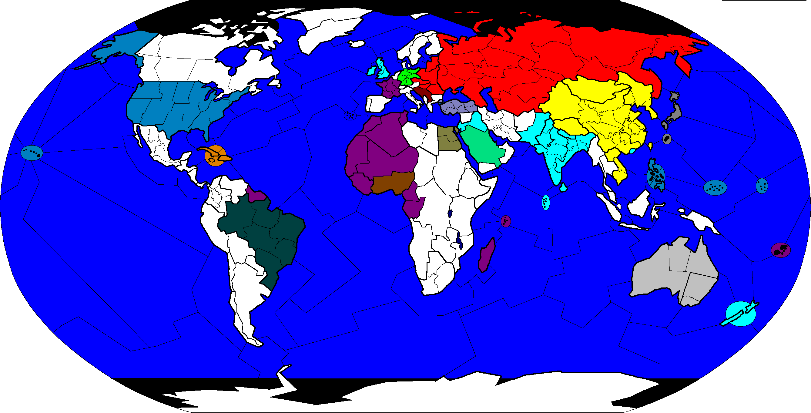
Nah, the eastern border for Germany is a bit off.